Woolford Provincial Park

Map
Facts and practical information
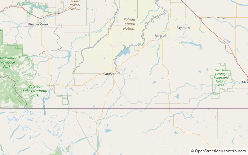
Woolford Provincial Park is a provincial park in Alberta, Canada, located 17.5 km east of Cardston, west of Highway 503. This provincial park is situated along St. Mary River at an elevation of 1,130 m and has a surface of 0.4 km2. It lies to the northeast from Waterton Lakes National Park. ()
Area: 86.49 acres (0.1351 mi²)Elevation: 3717 ft a.s.l.Coordinates: 49°10'41"N, 113°11'28"W
Location
Alberta
ContactAdd
Social media
Add
Day trips
Woolford Provincial Park – popular in the area (distance from the attraction)
Nearby attractions include: Remington Carriage Museum, Cardston Alberta Temple.

