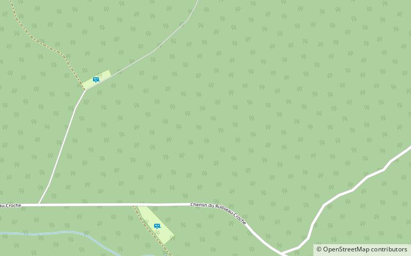
Zec Jaro
Map

Map

Facts and practical information
The Zec Jaro is a "zone d'exploitation contrôlée" in the municipality of Saint-Théophile, in the Beauce-Sartigan Regional County Municipality, in the administrative region of Chaudière-Appalaches, in Quebec, in Canada. ()
Elevation: 1568 ft a.s.l.Coordinates: 45°54'52"N, 70°21'41"W
Location
Québec
ContactAdd
Social media
Add
