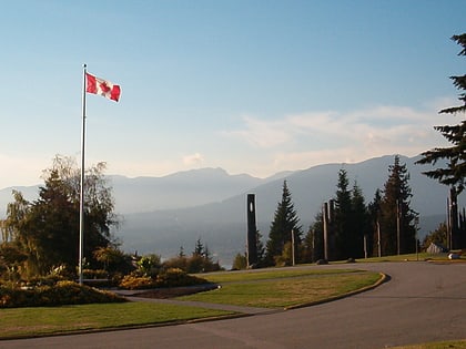
Belcarra Regional Park, Vancouver
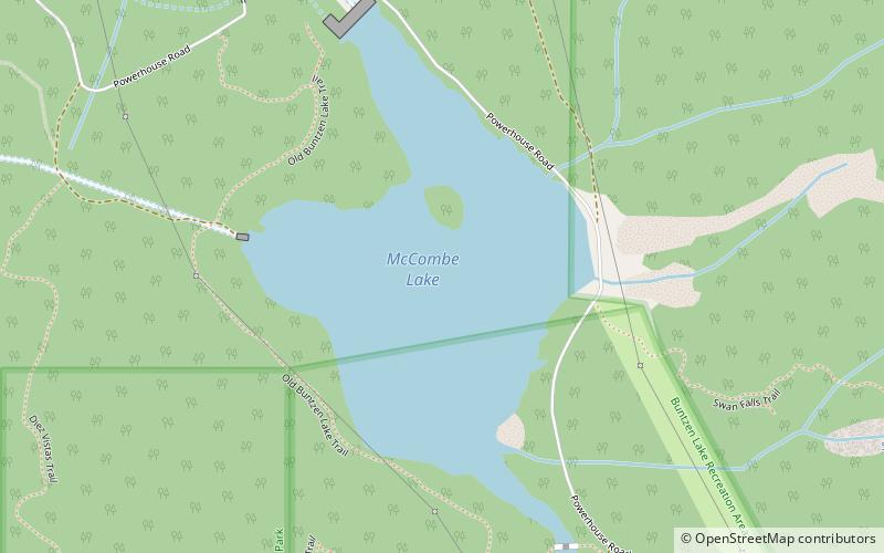
Map
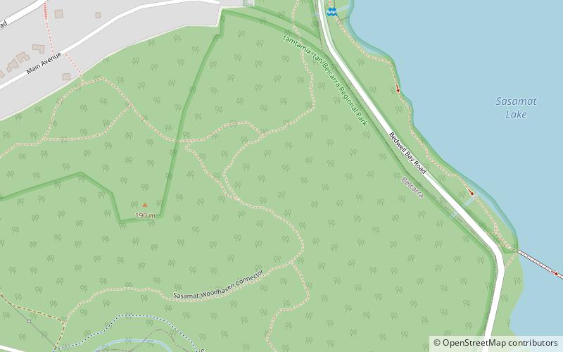
Map

Facts and practical information
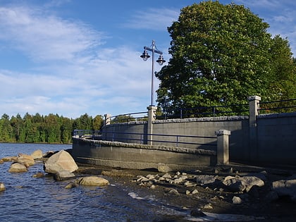
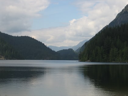
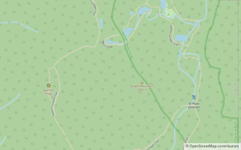
təmtəmíxʷtən/Belcarra Regional Park is a 1,100-hectare regional park located in Belcarra, Greater Vancouver, British Columbia. It is northeast of the meeting of Burrard Inlet with Indian Arm, beginning near Belcarra Bay and extending to Sasamat Lake. Sasamat is one of the warmest lakes in Greater Vancouver. The park is northwest of the Village of Anmore and to the southwest of Buntzen Lake. ()
Area: 4.25 mi²Elevation: 410 ft a.s.l.Coordinates: 49°19'7"N, 122°53'46"W
Address
BelcaraVancouver
ContactAdd
Social media
Add
Day trips
Belcarra Regional Park – popular in the area (distance from the attraction)
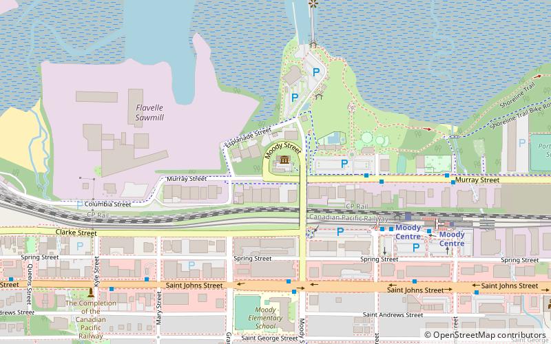
Nearby attractions include: Rocky Point Park, Buntzen Lake, Northlands Golf Course, Port Moody Station Museum.
Frequently Asked Questions (FAQ)
How to get to Belcarra Regional Park by public transport?
The nearest stations to Belcarra Regional Park:
Bus
Bus
- Belcarra Bay Rd at Senkler Rd • Lines: 182 (10 min walk)
- Bedwell Bay Rd AtWhite Pine Beach Rd • Lines: 150 (16 min walk)

 SkyTrain