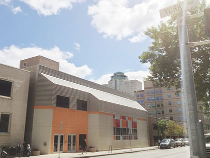
Confusion Corner, Winnipeg
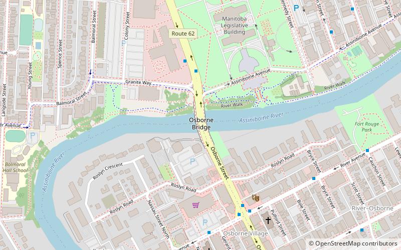
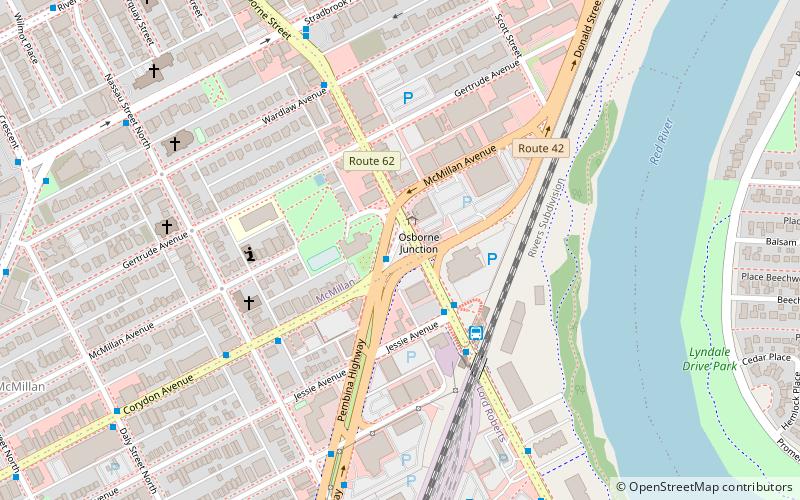
Map
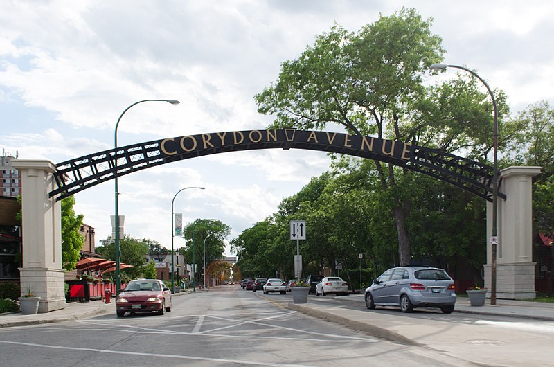
Gallery
Facts and practical information
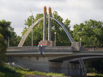
Osborne Junction, more commonly known as Confusion Corner, is a street intersection in Winnipeg, Manitoba. Located at the junction of City Route 62 and City Route 42 in the city's Fort Rouge neighbourhood, the intersection is a major traffic hub through which most traffic between downtown and the southwest quadrant of the city must pass, but is infamous for being complex and difficult for unfamiliar or distracted drivers to navigate correctly. ()
Coordinates: 49°52'29"N, 97°8'33"W
Address
River Heights (Mcmillan)Winnipeg
ContactAdd
Social media
Add
Day trips
Confusion Corner – popular in the area (distance from the attraction)
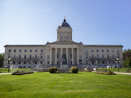
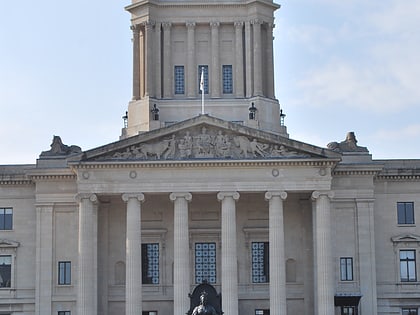
Nearby attractions include: Manitoba Legislative Building, Winnipeg Railway Museum, RBC Convention Centre Winnipeg, Osborne Stadium.
Frequently Asked Questions (FAQ)
Which popular attractions are close to Confusion Corner?
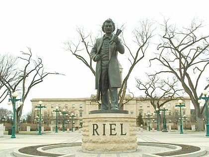
Nearby attractions include Osborne Village, Winnipeg (9 min walk), Osborne Stadium, Winnipeg (14 min walk), The Stoneware Gallery, Winnipeg (15 min walk), Louis Riel Sculpture, Winnipeg (15 min walk).
How to get to Confusion Corner by public transport?
The nearest stations to Confusion Corner:
Bus
Train
Bus
- Southbound Osborne at Osborne Junction • Lines: 16, 58 (1 min walk)
- Southbound Pembina at Osborne Junction • Lines: 18, 60 (1 min walk)
Train
- Winnipeg (27 min walk)

