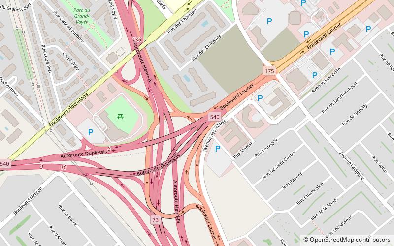
Quebec Autoroute 540, Quebec City

Map
Facts and practical information
Autoroute 540 is a short spur highway, connecting Route 138 to Autoroute 73 and linking the Jean Lesage International Airport with the Pierre Laporte Bridge. It is also known as Autoroute Duplessis, honouring former Premier Maurice Duplessis. ()
Coordinates: 46°45'46"N, 71°17'49"W
Address
Sainte-Foy (Saint Louis)Quebec City
ContactAdd
Social media
Add
Day trips
Quebec Autoroute 540 – popular in the area (distance from the attraction)
Nearby attractions include: Aquarium du Québec, Laurier Québec, Place Sainte-Foy, Islamic Cultural Centre of Quebec City.
Frequently Asked Questions (FAQ)
How to get to Quebec Autoroute 540 by public transport?
The nearest stations to Quebec Autoroute 540:
Bus
Train
Bus
- Jules-Dallaire • Lines: 800, 801, 804 (13 min walk)
- Wilfrid-Légaré • Lines: 382, 800, 801 (14 min walk)
Train
- Sainte-Foy (16 min walk)


