Stanley Street, Montreal
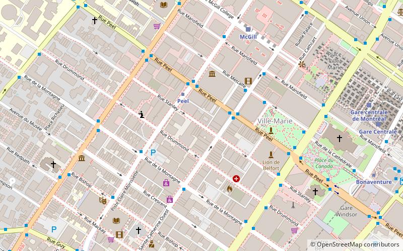
Map
Facts and practical information
Coordinates: 45°29'59"N, 73°34'28"W
Address
Ville-Marie District (Quartier Ville-Marie)Montreal
ContactAdd
Social media
Add
Getting there by public transportation
Public transportation stops near this location
- Metro
- Bus
- Train
 Metro
Metro
- Calculate routePeel / Sainte-Catherine 2 min walk
- Calculate routeSainte-Catherine / Peel 2 min walk
- Calculate routeStation Peel 3 min walk
- Calculate routeDe Maisonneuve / de la Montagne 4 min walk
- Calculate routePeel 2 min walk
- Calculate routeMcGill 9 min walk
- Calculate routeLucien L'Allier 10 min walk
- Calculate routeBonaventure 10 min walk
- Calculate routeMontreal Central Station 9 min walk
- Calculate routeLucien-L'Allier 11 min walk
Maps Metro
Metro
MetroDay trips


Frequently Asked Questions (FAQ)
Which popular attractions are close to Stanley Street?
Nearby attractions include Castle Building, Montreal (1 min walk), Martlet House, Montreal (2 min walk), Drummond Street, Montreal (2 min walk), Peel Street, Montreal (2 min walk).
How to get to Stanley Street by public transport?
The nearest stations to Stanley Street:
Bus
Metro
Train
Bus
- Peel / Sainte-Catherine • Lines: 107-S (2 min walk)
- Sainte-Catherine / Peel • Lines: 15-E (2 min walk)
Metro
- Peel • Lines: 1 (2 min walk)
- McGill • Lines: 1 (9 min walk)
Train
- Montreal Central Station (9 min walk)
- Lucien-L'Allier (11 min walk)