Carlsbad Springs, Ottawa
Map

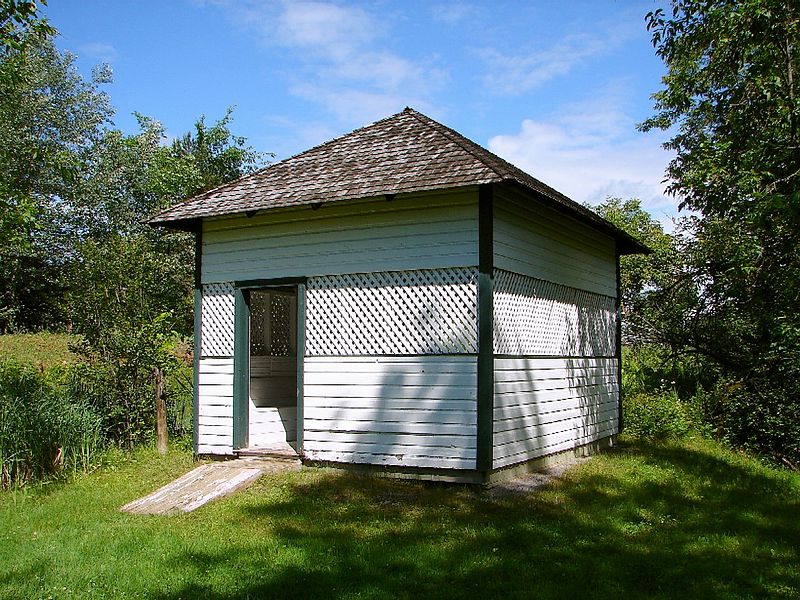
Gallery

Facts and practical information
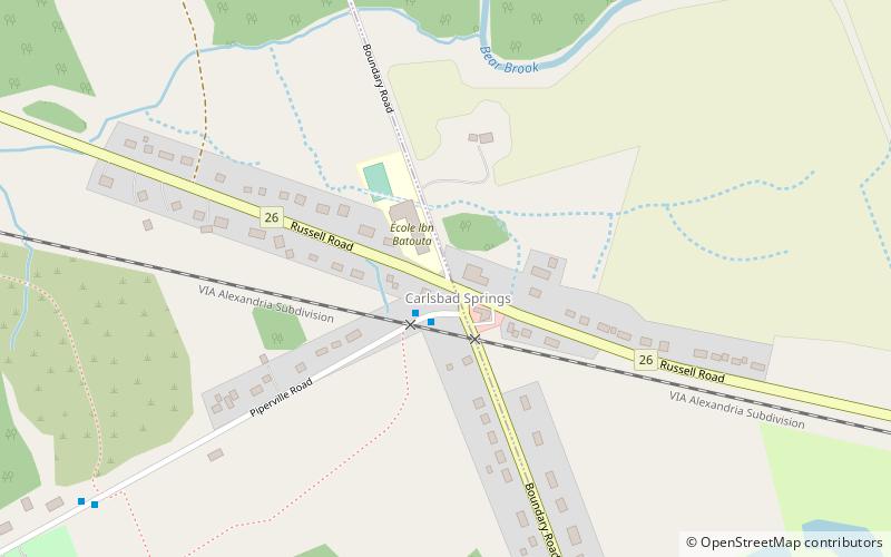
Carlsbad Springs is a rural community on Bear Brook in Cumberland Ward in Ottawa, Ontario, Canada; Prior to amalgamation in 2001, the community was on the border between Gloucester and Cumberland. According to the Canada 2011 Census, the population of the surrounding area is 916. ()
Coordinates: 45°22'10"N, 75°27'23"W
Address
Ottawa
ContactAdd
Social media
Add
Day trips
Carlsbad Springs – popular in the area (distance from the attraction)
Nearby attractions include: Mer Bleue Bog, Piperville, Ramsayville, Notre-Dame-des-Champs.
Frequently Asked Questions (FAQ)
How to get to Carlsbad Springs by public transport?
The nearest stations to Carlsbad Springs:
Bus
Bus
- Piperville / Boundary • Lines: 222 (2 min walk)
- Boundary / AD. 4642 • Lines: 222 (10 min walk)


