Marie-Victorin, Longueuil
Map
Facts and practical information
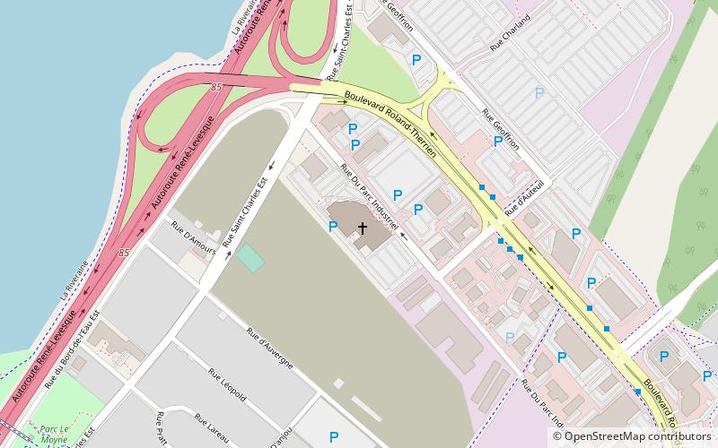
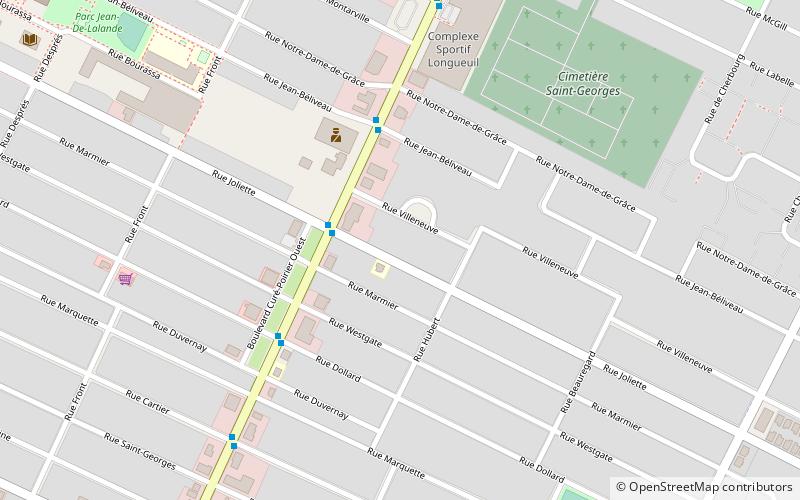
Marie-Victorin is a provincial electoral district in Quebec, Canada that elects members to the National Assembly of Quebec. The district is located in the Vieux-Longueuil Borough of Longueuil. It is bordered to the north by chemin de Chambly, to the east by the city limits, to the south by the Canadian National railway, Boulevard Deslauniers and the city limits and to the west by the Saint Lawrence River. ()
Coordinates: 45°31'12"N, 73°29'10"W
Address
Saint-Jean-VianneyLongueuil
ContactAdd
Social media
Add
Day trips
Marie-Victorin – popular in the area (distance from the attraction)
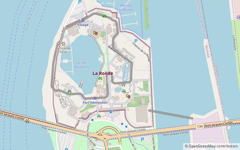
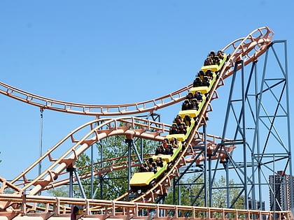
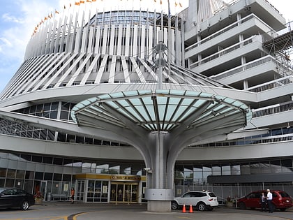
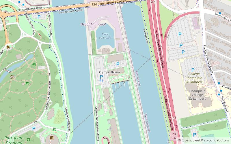
Nearby attractions include: Montreal Biosphère, Parc Jean-Drapeau, Aqua Twist, Le Monstre.
Frequently Asked Questions (FAQ)
How to get to Marie-Victorin by public transport?
The nearest stations to Marie-Victorin:
Bus
Bus
- voie Bv-Taschereau / boul. Curé-Poirier • Lines: 301 N, 301 S, 302 N, 302 S (20 min walk)
- boul. Taschereau / face à passerelle piétonnière • Lines: 200 N, 200 S (21 min walk)


