Lawson SDA, Saskatoon
Map
Facts and practical information
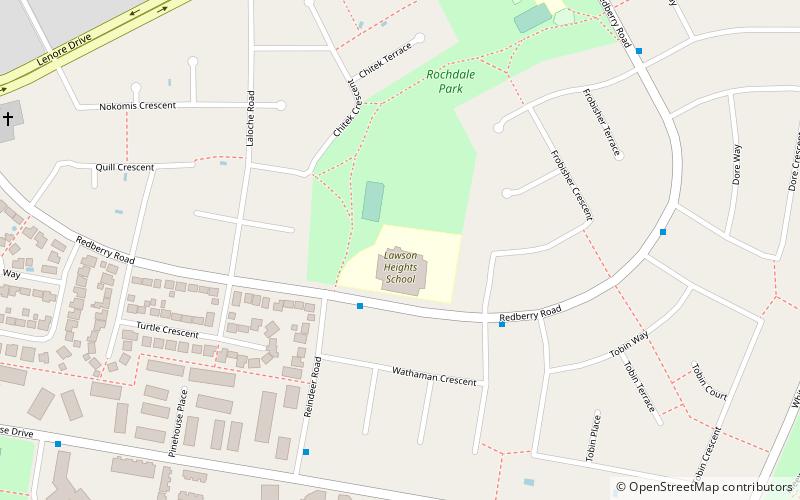
Lawson Suburban Development Area is an area in Saskatoon, Saskatchewan. It is a part of the west side community of Saskatoon. It lies south of the outskirts of the North West Industrial SDA, west of the South Saskatchewan River and the University Heights SDA, north of the Core Neighbourhoods SDA, and east of the North West Industrial SDA. ()
Coordinates: 52°10'16"N, 106°37'10"W
Address
Lawson (Lawson Heights)Saskatoon
ContactAdd
Social media
Add
Getting there by public transportation
Public transportation stops near this location
- Bus
 Bus
Bus
- Calculate routeRedberry Road & Reindeer Road 2 min walk
- Calculate routeReindeer Road & Pinehouse Drive 6 min walk
Day trips


Frequently Asked Questions (FAQ)
Which popular attractions are close to Lawson SDA?
Nearby attractions include Lawson Heights Suburban Centre, Saskatoon (1 min walk), Lawson Heights, Saskatoon (1 min walk).
How to get to Lawson SDA by public transport?
The nearest stations to Lawson SDA:
Bus
Bus
- Redberry Road & Reindeer Road • Lines: 13 (2 min walk)
- Reindeer Road & Pinehouse Drive • Lines: 13 (6 min walk)