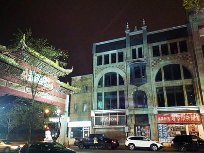
Robillard Block, Montreal
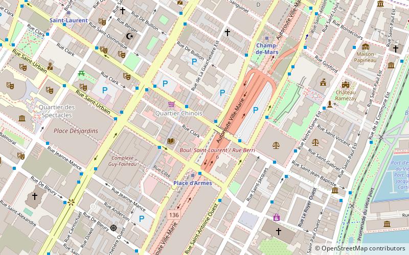
Map
Map

Facts and practical information
The Robillard Block once located at 974 boul. St. Laurent, was a landmark building in Montreal, Quebec, Canada, situated in Montreal's Chinatown on the corner of Viger Street and Saint Laurent Boulevard. On 17 November 2016, the building was destroyed by fire. ()
Coordinates: 45°30'27"N, 73°33'33"W
Address
Ville-Marie District (Quartier Ville-Marie)Montreal
ContactAdd
Social media
Add
Day trips
Robillard Block – popular in the area (distance from the attraction)
Nearby attractions include: Notre-Dame Basilica, City Hall, Complexe Desjardins, Sun Yat-sen Park.
Frequently Asked Questions (FAQ)
Which popular attractions are close to Robillard Block?
Nearby attractions include Chinatown, Montreal (2 min walk), De la Gauchetière Street, Montreal (2 min walk), Sun Yat-sen Park, Montreal (2 min walk), Place d'Armes, Montreal (3 min walk).
How to get to Robillard Block by public transport?
The nearest stations to Robillard Block:
Bus
Metro
Train
Bus
- Saint-Laurent / De la Gauchetière • Lines: 55-N (2 min walk)
- Saint-Laurent / Saint-Antoine • Lines: 129-N, 55-N (2 min walk)
Metro
- Place d’Armes • Lines: 2 (3 min walk)
- Champ-de-Mars • Lines: 2 (6 min walk)
Train
- Montreal Central Station (17 min walk)
- Lucien-L'Allier (28 min walk)
 Metro
Metro

