West Kildonan, Winnipeg
Map
Facts and practical information
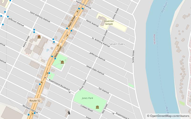
West Kildonan is a residential suburb within the Old Kildonan and Mynarski city wards of Winnipeg, Manitoba, lying on the west side of the Red River, and immediately north of the old City of Winnipeg in the north-central part of the city. ()
Area: 5.44 mi²Coordinates: 49°55'59"N, 97°7'1"W
Address
Seven Oaks (Seven Oaks Subdivision)Winnipeg
ContactAdd
Social media
Add
Day trips
West Kildonan – popular in the area (distance from the attraction)
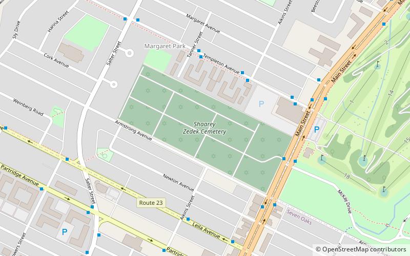
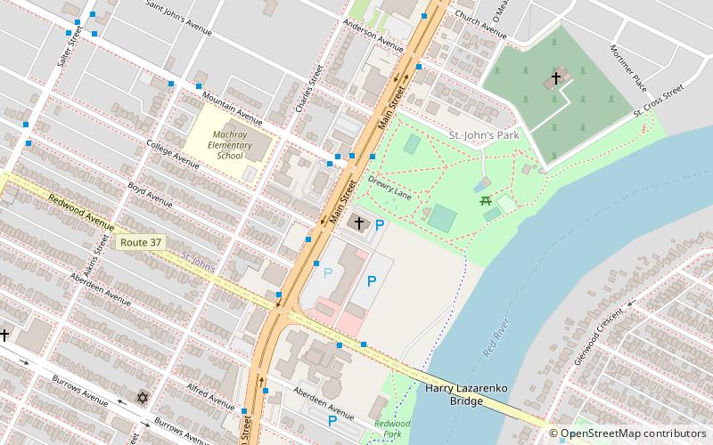
Nearby attractions include: Rainbow Stage, Kildonan Park, Shaarey Zedek Cemetery, Cathedral of St. John.
Frequently Asked Questions (FAQ)
Which popular attractions are close to West Kildonan?
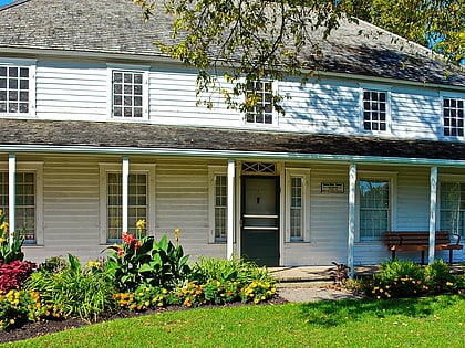
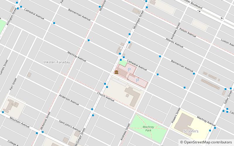
Nearby attractions include Seven Oaks House Museum, Winnipeg (5 min walk), Shaarey Zedek Cemetery, Winnipeg (23 min walk).
How to get to West Kildonan by public transport?
The nearest stations to West Kildonan:
Bus
Bus
- Northbound Main at St. Anthony • Lines: 18, 32 (4 min walk)
- Northbound Main at Seven Oaks • Lines: 18, 32, defunct, defunct Winnipeg - Selkirk (5 min walk)
