Clearbrook, Abbotsford
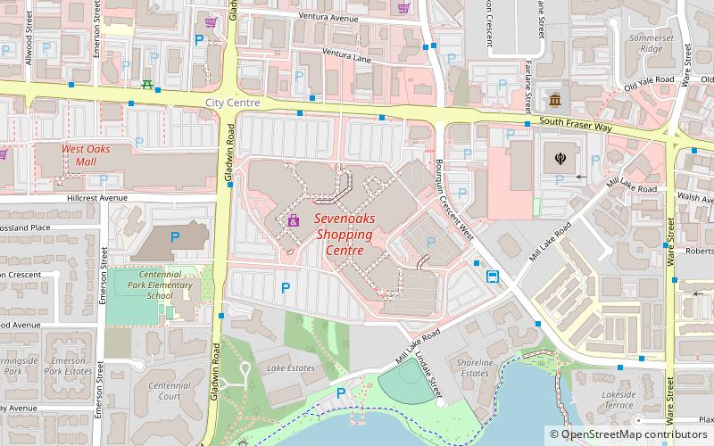
Map
Facts and practical information
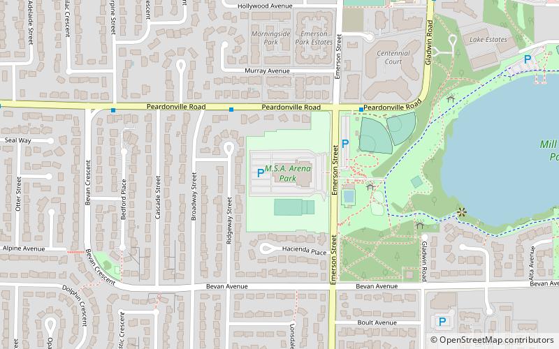
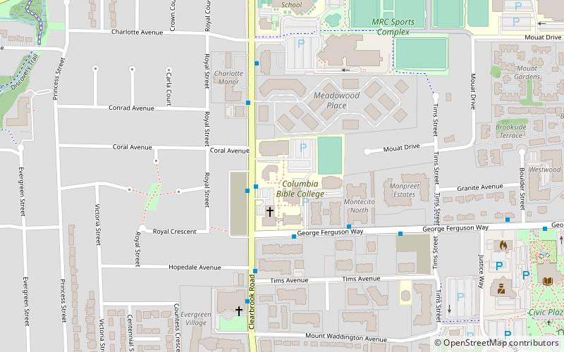
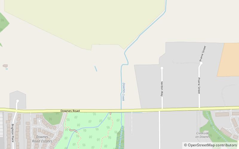
Clearbrook is a neighbourhood of the City of Abbotsford, British Columbia, located in the western portion of the city in the vicinity of Clearbrook Road. The area was originally known as Sandy Flats or West Abbotsford, and was located in the Poplar district of the District of Matsqui. It became known as Clearbrook by the late 1940s, most likely named after Clearbrook Road, a road that originally ran from Old Yale Road south across the Canada-USA border to nearby Clearbrook, Washington. ()
Coordinates: 49°4'34"N, 122°19'38"W
Address
Matsqui PrairieAbbotsford
ContactAdd
Social media
Add
Day trips
Clearbrook – popular in the area (distance from the attraction)
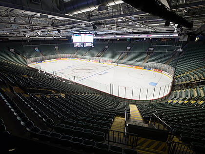
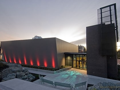
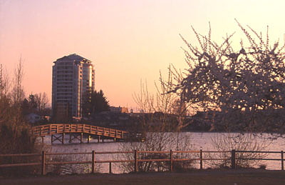
Nearby attractions include: Abbotsford Centre, Mission Raceway Park, Pandora, The Reach Gallery Museum.
Frequently Asked Questions (FAQ)
How to get to Clearbrook by public transport?
The nearest stations to Clearbrook:
Bus
Bus
- Chilcotin at Nicola • Lines: 6 (14 min walk)
- Qualicum Street at Qualicum Place • Lines: 6 (15 min walk)
