Railway Club, Vancouver
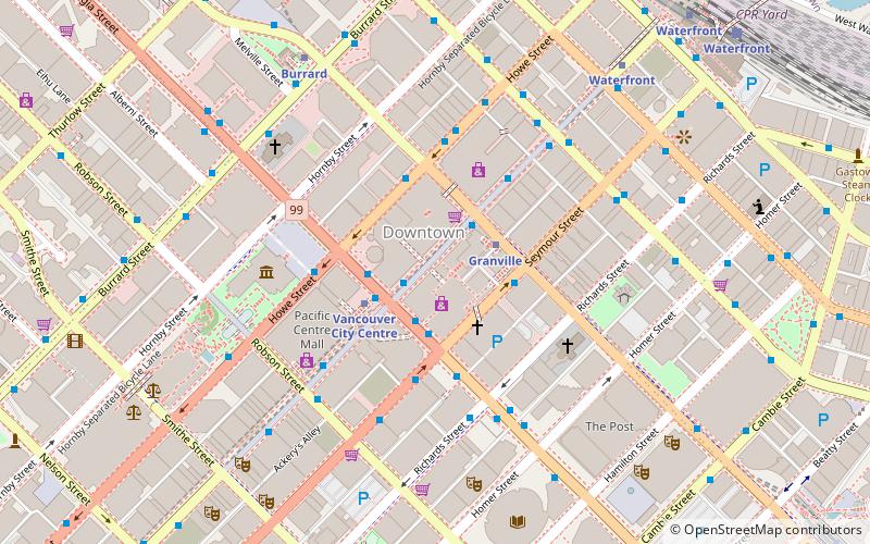
Map
Facts and practical information
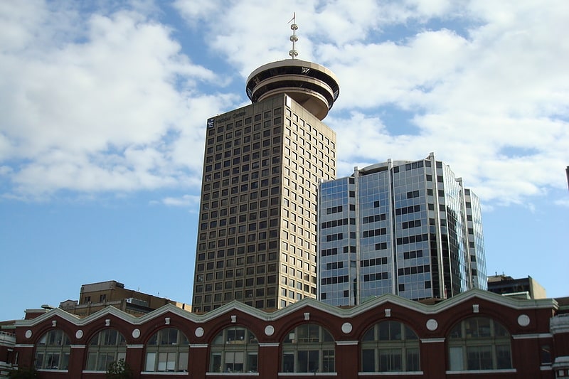
Railway Stage & Beer Café is Vancouver’s longest continually operating nightclub, occupying the same premises uninterrupted from 1931 to 2016. Three rooms made up the second floor space at the corner of Seymour and Dunsmuir Street. The first was a small room that hosted music seven nights a week. The second was a pub-style space, and the third retained its 1930s look, with brass fittings and a large wooden bar. ()
Coordinates: 49°16'58"N, 123°7'2"W
Address
Downtown VancouverVancouver
ContactAdd
Social media
Add
Getting there by public transportation
Public transportation stops near this location
- Metro
- Bus
- Trolleybus
- Train
- Ferry
 Metro
Metro
- Calculate routeGranville St at West Georgia St 1 min walk
- Calculate routeWest Georgia St at Granville St 2 min walk
- Calculate routeGranville St at West Georgia St 1 min walk
- Calculate routeGranville St at Dunsmuir St 2 min walk
- Calculate routeGranville 2 min walk
- Calculate routeVancouver City Centre 3 min walk
- Calculate routeBurrard 6 min walk
- Calculate routeWaterfront 8 min walk
- Calculate routeWaterfront 9 min walk
- Calculate routeVancouver Pacific Central 28 min walk
- Calculate routeWaterfront 12 min walk
- Calculate routePlaza of Nations Dock 18 min walk
- Calculate routeYaletown Dock 20 min walk
- Calculate routeSpyglass Dock 21 min walk
Maps SkyTrain
SkyTrainDay trips
Railway Club – popular in the area (distance from the attraction)
Nearby attractions include: Commodore Ballroom, Harbour Centre, Vancouver Art Gallery, Sinclair Centre.


Frequently Asked Questions (FAQ)
Which popular attractions are close to Railway Club?
Nearby attractions include Downtown Vancouver, Vancouver (1 min walk), Dunsmuir Tunnel, Vancouver (3 min walk), HSBC Canada Building, Vancouver (3 min walk), Holy Rosary Cathedral, Vancouver (4 min walk).
How to get to Railway Club by public transport?
The nearest stations to Railway Club:
Bus
Trolleybus
Metro
Train
Ferry
Bus
- Granville St at West Georgia St • Lines: 50 (1 min walk)
- West Georgia St at Granville St • Lines: 240, 246, 250, 257 (2 min walk)
Trolleybus
- Granville St at West Georgia St • Lines: 10, 14, 16, 4, 7 (1 min walk)
- Granville St at Dunsmuir St • Lines: 10, 14, 16, 17, 20, 4, 7 (2 min walk)
Metro
- Granville • Lines: Expo Line (2 min walk)
- Vancouver City Centre • Lines: Canada Line (3 min walk)
Train
- Waterfront (9 min walk)
- Vancouver Pacific Central (28 min walk)
Ferry
- Waterfront • Lines: SeaBus (12 min walk)
- Plaza of Nations Dock • Lines: Aquabus, False Creek Ferries Route 3 (18 min walk)