Laval-des-Rapides, Laval

Map
Facts and practical information
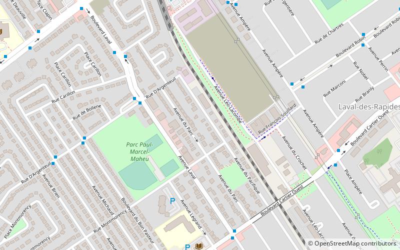
Laval-des-Rapides is a district in Laval, Quebec, Canada. It was a separate city until the municipal mergers on August 6, 1965. ()
Coordinates: 45°33'21"N, 73°42'28"W
Address
Laval-Des-RapidesLaval
ContactAdd
Social media
Add
Day trips
Laval-des-Rapides – popular in the area (distance from the attraction)
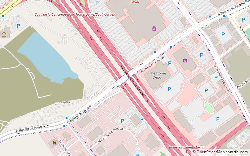
Nearby attractions include: Centre Laval, Bordeaux Railway Bridge, Médéric Martin Bridge, Boulevard du Souvenir overpass collapse.
Frequently Asked Questions (FAQ)
Which popular attractions are close to Laval-des-Rapides?
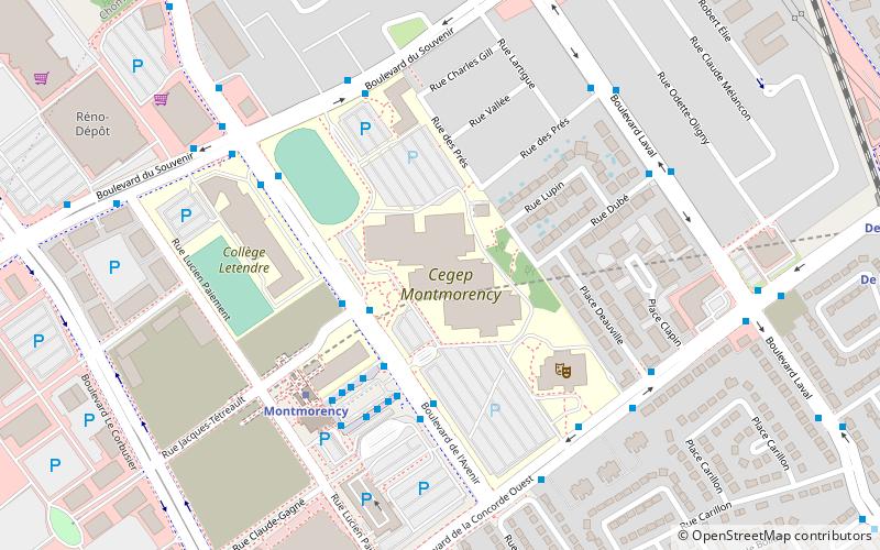
Nearby attractions include Collège Montmorency, Laval (16 min walk), Bordeaux Railway Bridge, Laval (17 min walk).
How to get to Laval-des-Rapides by public transport?
The nearest stations to Laval-des-Rapides:
Bus
Train
Metro
Bus
- D'argenteuil / Laval • Lines: 63N (4 min walk)
- Laval / D'argenteuil • Lines: 63S (4 min walk)
Train
- De la Concorde (8 min walk)
Metro
- De la Concorde • Lines: 2 (9 min walk)
- Montmorency • Lines: 2 (18 min walk)


