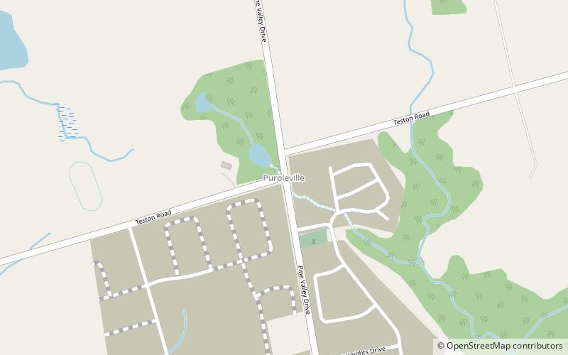
Purpleville, Vaughan

Map
Facts and practical information
Purpleville is a hamlet located south of the intersection of Pine Valley Drive and Teston Road, in the city of Vaughan, in Ontario, Canada. ()
Coordinates: 43°51'27"N, 79°35'26"W
Address
KleinburgVaughan
ContactAdd
Social media
Add
Day trips
Purpleville – popular in the area (distance from the attraction)
Nearby attractions include: Canada's Wonderland, Leviathan Roller Coaster, Ghoster Coaster, Timberwolf Falls.
Frequently Asked Questions (FAQ)
How to get to Purpleville by public transport?
The nearest stations to Purpleville:
Bus
Bus
- Major Mackenzie Drive / Via Campanile • Lines: 4A (34 min walk)


