Chak Peak, Jasper National Park
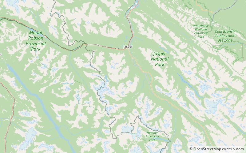
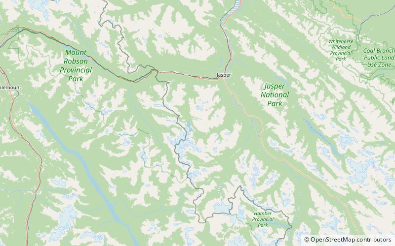
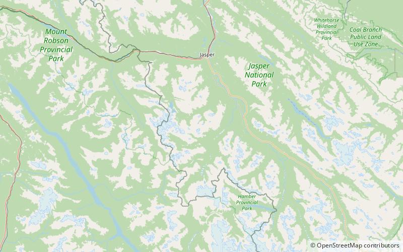
Map
Facts and practical information
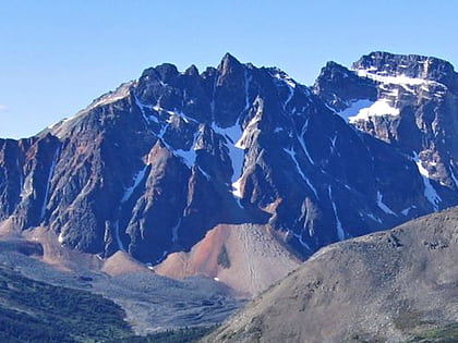
Chak Peak is a 2,775-metre mountain summit located in the Athabasca River valley of Jasper National Park, in the Canadian Rockies of Alberta, Canada. Chak is a name derived from the Stoney language meaning "eagle". Precipitation runoff from Chak Peak drains into Portal Creek and Astoria River which are both tributaries of the Athabasca River. ()
Coordinates: 52°42'43"N, 118°7'39"W
Address
Jasper National Park
ContactAdd
Social media
Add
Day trips
Chak Peak – popular in the area (distance from the attraction)
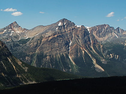
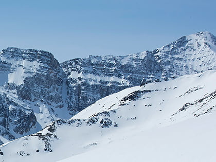
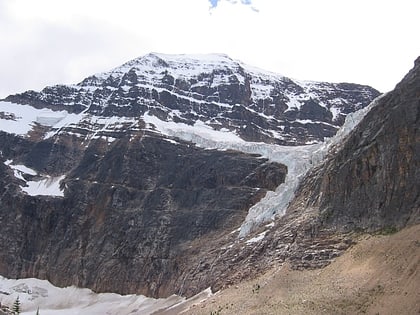
Nearby attractions include: Terminal Mountain, Franchère Peak, Manx Peak, Mount Edith Cavell.
