Beasley, Hamilton
Map
Facts and practical information
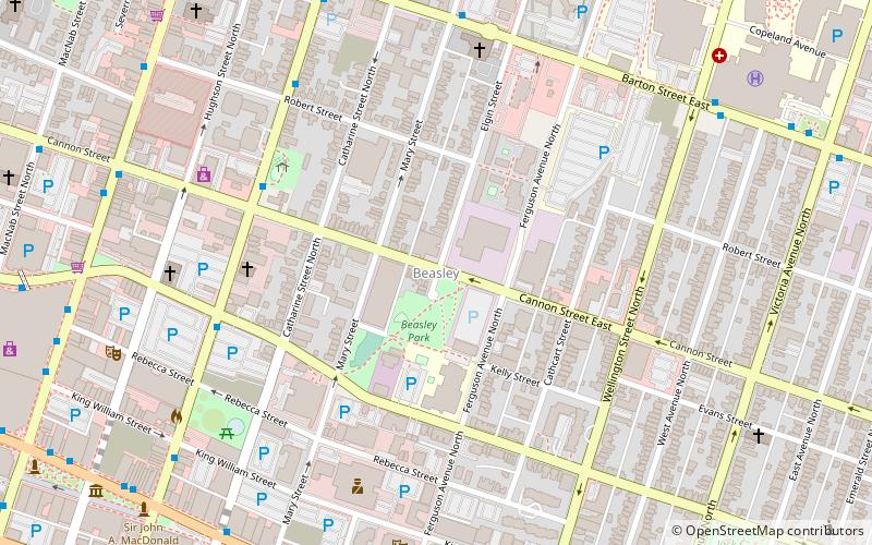
Beasley is a neighbourhood in the Lower City area of Hamilton, Ontario, Canada. The Beasley neighbourhood is bounded in the north by the Canadian National Railway tracks just north of Barton Street, James Street, Main Street and Wellington Street. ()
Coordinates: 43°15'33"N, 79°51'40"W
Address
Downtown Hamilton (Beasley)Hamilton
ContactAdd
Social media
Add
Getting there by public transportation
Public transportation stops near this location
- Bus
- Train
 Bus
Bus
- Calculate routeKing at Walnut 9 min walk
- Calculate routeKing at John 10 min walk
- Calculate routeWest Harbour 15 min walk
- Calculate routeHamilton GO Centre 15 min walk
Day trips


Frequently Asked Questions (FAQ)
Which popular attractions are close to Beasley?
Nearby attractions include Beasley Park, Hamilton (2 min walk), International Village BIA, Hamilton (9 min walk), Citadel Theatre, Hamilton (9 min walk), Christ's Church Cathedral, Hamilton (9 min walk).
How to get to Beasley by public transport?
The nearest stations to Beasley:
Bus
Train
Bus
- King at Walnut • Lines: 1A (9 min walk)
- King at John • Lines: 10, 40 (10 min walk)
Train
- West Harbour (15 min walk)
- Hamilton GO Centre (15 min walk)