Tawatinâ Bridge, Edmonton
Map
Map

Facts and practical information
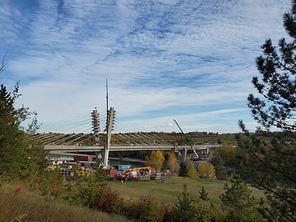
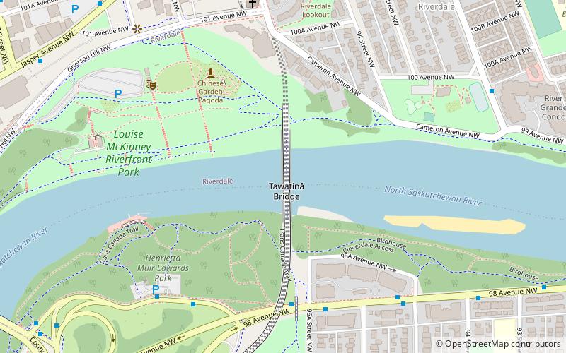
The Tawatinâ Bridge is a dedicated LRT bridge crossing the North Saskatchewan River in Edmonton, Alberta, currently under construction. It will be part of Edmonton Transit Service's Valley Line extension, which is scheduled to open in 2022. The Tawatinâ Bridge will consist of two railway tracks and a multi-use pathway below the bridge's concrete box girder. The multi-use pathway will contain a bicycle lane down its middle and two pedestrian lanes to the outside. ()
Coordinates: 53°32'25"N, 113°28'38"W
Address
North Central Edmonton (Riverdale)Edmonton
ContactAdd
Social media
Add
Day trips
Tawatinâ Bridge – popular in the area (distance from the attraction)
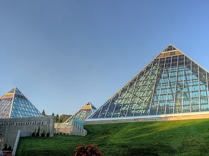
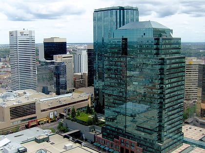
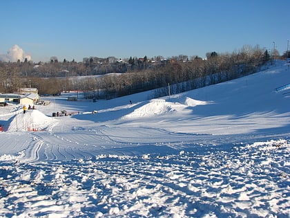
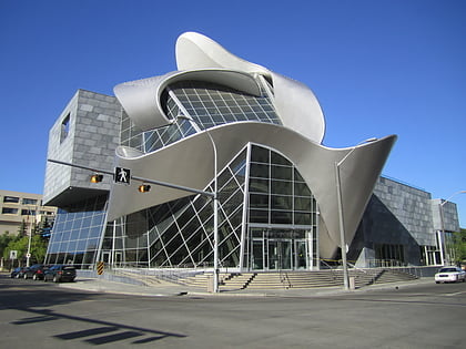
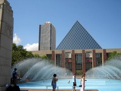
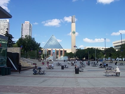
Nearby attractions include: Muttart Conservatory, Manulife Place, Commerce Place, Edmonton Ski Club.
Frequently Asked Questions (FAQ)
Which popular attractions are close to Tawatinâ Bridge?
Nearby attractions include Louise McKinney Riverfront Park, Edmonton (5 min walk), Edmonton Queen, Edmonton (6 min walk), Grierson Centre, Edmonton (8 min walk), Cloverdale, Edmonton (8 min walk).
How to get to Tawatinâ Bridge by public transport?
The nearest stations to Tawatinâ Bridge:
Bus
Light rail
Bus
- 96 Street & Jasper Ave • Lines: 2, 2-Owl, 5 (8 min walk)
- 95 Street & Jasper Ave • Lines: 1, 2, 2-Owl, 5 (9 min walk)
Light rail
- Churchill • Lines: 501, 502 (15 min walk)
- Central • Lines: 501, 502 (16 min walk)
