Calgary-Elbow, Calgary
Map
Facts and practical information
Calgary-Elbow is a provincial electoral district for the Legislative Assembly of Alberta, Canada. Its current MLA is Doug Schweitzer, who won the seat in the 2019 provincial election. ()
Coordinates: 51°1'14"N, 114°4'42"W
Address
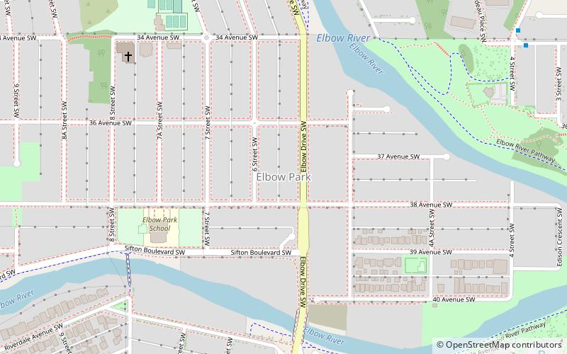
Southwest Calgary (Elbow Park)Calgary
ContactAdd
Social media
Add
Getting there by public transportation
Public transportation stops near this location
- Bus
- Light rail
 Bus
Bus
- Calculate route34 Avenue & 4 Street SW 10 min walk
- Calculate route4 Street & 34 Avenue SW 10 min walk
- Calculate route10 Street & 36 Avenue SW 11 min walk
- Calculate route39 Avenue 20 min walk
- Calculate routeErlton/Stampede 29 min walk
Day trips


Frequently Asked Questions (FAQ)
Which popular attractions are close to Calgary-Elbow?
Nearby attractions include Elbow Park, Calgary (8 min walk), Parkhill/Stanley Park, Calgary (15 min walk), Britannia, Calgary (16 min walk), Elboya, Calgary (17 min walk).
How to get to Calgary-Elbow by public transport?
The nearest stations to Calgary-Elbow:
Bus
Light rail
Bus
- 34 Avenue & 4 Street SW • Lines: 449 (10 min walk)
- 4 Street & 34 Avenue SW • Lines: 449 (10 min walk)
Light rail
- 39 Avenue • Lines: 201 (20 min walk)
- Erlton/Stampede • Lines: 201 (29 min walk)