De Lorimier Avenue, Montreal
Map
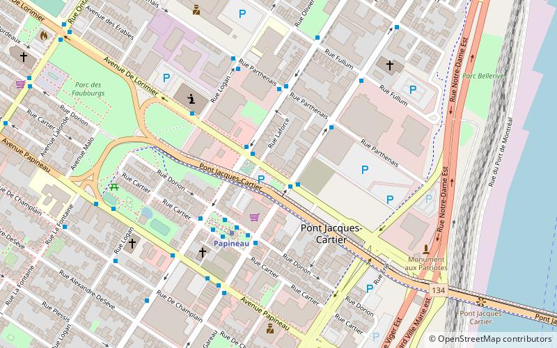
Map

Facts and practical information
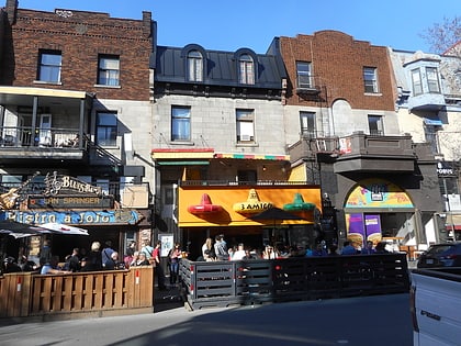
De Lorimier Avenue is a major north–south avenue located in Montreal, Quebec, Canada. ()
Coordinates: 45°31'30"N, 73°33'3"W
Address
Ville-Marie District (Sainte-Marie)Montreal
ContactAdd
Social media
Add
Day trips
De Lorimier Avenue – popular in the area (distance from the attraction)
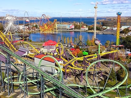
Nearby attractions include: La Ronde, Stereo, Saint Denis Street, Vampire.
Frequently Asked Questions (FAQ)
Which popular attractions are close to De Lorimier Avenue?
Nearby attractions include Centre-Sud, Montreal (3 min walk), Papineau Avenue, Montreal (3 min walk), Pied-du-Courant Prison, Montreal (7 min walk), Church of Saint-Pierre-Apôtre, Montreal (12 min walk).
How to get to De Lorimier Avenue by public transport?
The nearest stations to De Lorimier Avenue:
Bus
Metro
Train
Bus
- Sainte-Catherine / De Lorimier • Lines: 150-O, 34-E (1 min walk)
- De Lorimier / Sainte-Catherine • Lines: 150-E (1 min walk)
Metro
- Papineau • Lines: 1 (4 min walk)
- Beaudry • Lines: 1 (13 min walk)
Train
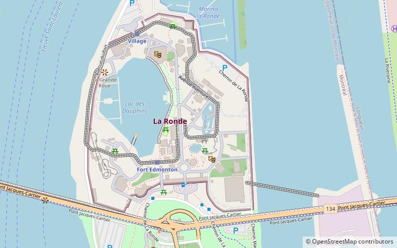
- Village (18 min walk)
- Fort Edmonton (19 min walk)

 Metro
Metro