Decker Mountain, Garibaldi Provincial Park

Gallery (2)
Map

Map
Gallery
Facts and practical information
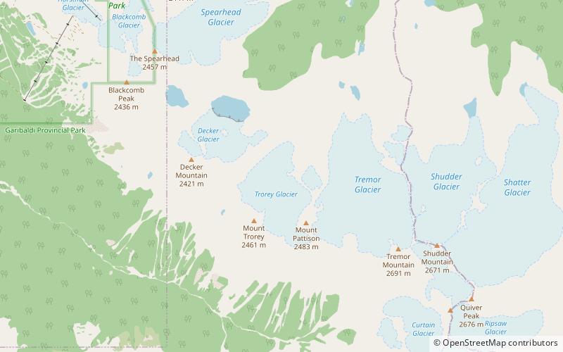
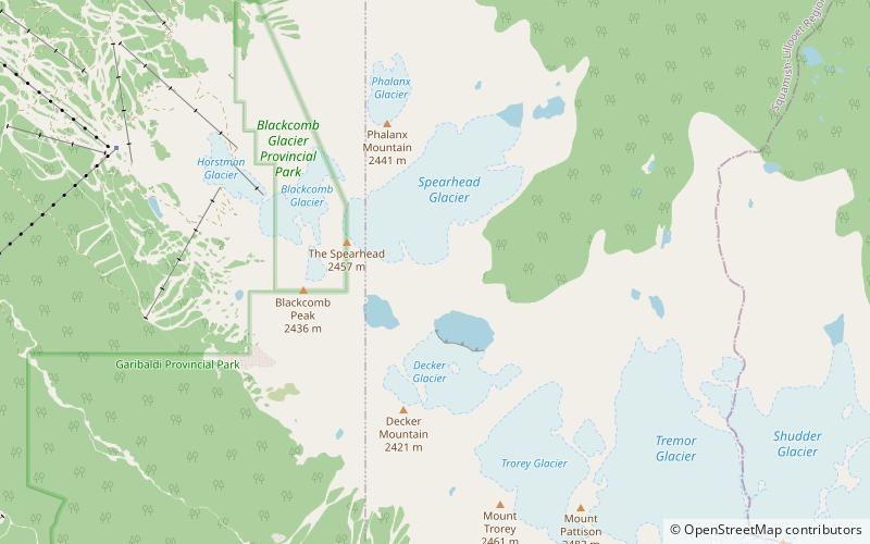
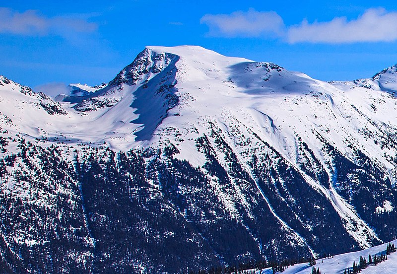
Decker Mountain is a 2,421-metre flat-topped peak located in the Garibaldi Ranges of the Coast Mountains, in Garibaldi Provincial Park of southwestern British Columbia, Canada. It is part of the Spearhead Range, which is a subset of the Garibaldi Ranges. It is situated 9 km southeast of Whistler, and 3.9 km west-northwest of Tremor Mountain, which is the highest point in the Spearhead Range. Precipitation runoff from the south side of the peak drains into Fitzsimmons Creek which is a tributary of the Cheakamus River, and meltwater from the Decker Glacier on the northeastern slope drains to Wedge Creek. ()
Coordinates: 50°4'9"N, 122°51'18"W
Address
Garibaldi Provincial Park
ContactAdd
Social media
Add
Day trips