Coal Harbour, Vancouver
Map
Gallery
Facts and practical information
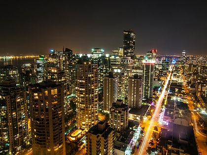
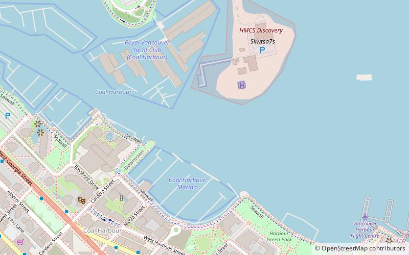
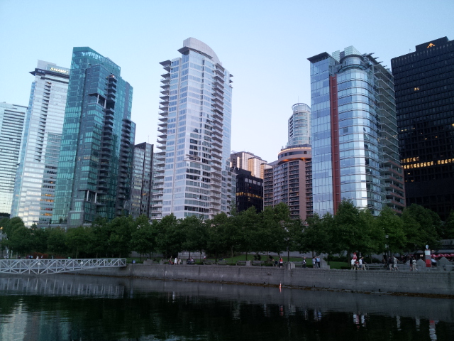
Coal Harbour is the name for a section of Burrard Inlet lying between Vancouver's Downtown Peninsula and the Brockton Point of Stanley Park. It has also now become the name of the neighbourhood adjacent to its southern shoreline. ()
Day trips
Coal Harbour – popular in the area (distance from the attraction)
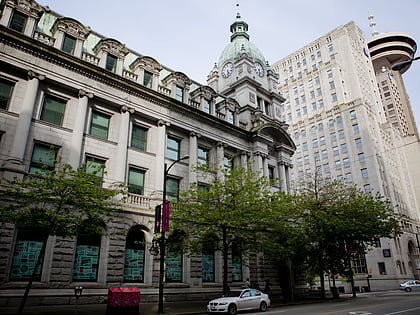
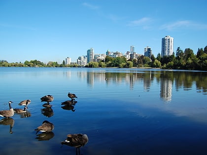
Nearby attractions include: Robson Street, Vancouver Aquarium, Sinclair Centre, Lost Lagoon.
Frequently Asked Questions (FAQ)
Which popular attractions are close to Coal Harbour?
Nearby attractions include Seawall, Vancouver (10 min walk), The Melville, Vancouver (10 min walk), Stanley Park Horse-Drawn Tours, Vancouver (11 min walk), Shaw Tower, Vancouver (12 min walk).
How to get to Coal Harbour by public transport?
The nearest stations to Coal Harbour:
Trolleybus
Bus
Metro
Train
Ferry
Trolleybus
- West Pender St at Broughton St • Lines: 19 (7 min walk)
- West Georgia Street at Cardero Street • Lines: 19 (8 min walk)
Bus
- West Georgia Street at Cardero Street • Lines: 240, 246, 250 (8 min walk)
- West Georgia St at Denman St • Lines: 240, 246, 250, 257 (11 min walk)
Metro
- Burrard • Lines: Expo Line (15 min walk)
- Waterfront • Lines: Canada Line, Expo Line (20 min walk)
Train
- Waterfront (21 min walk)
Ferry
- Waterfront • Lines: SeaBus (22 min walk)
- Aquatic Centre Dock • Lines: False Creek Ferries Route 1, False Creek Ferries Route 2 (33 min walk)
 SkyTrain