Rossmere, Winnipeg
Map
Facts and practical information
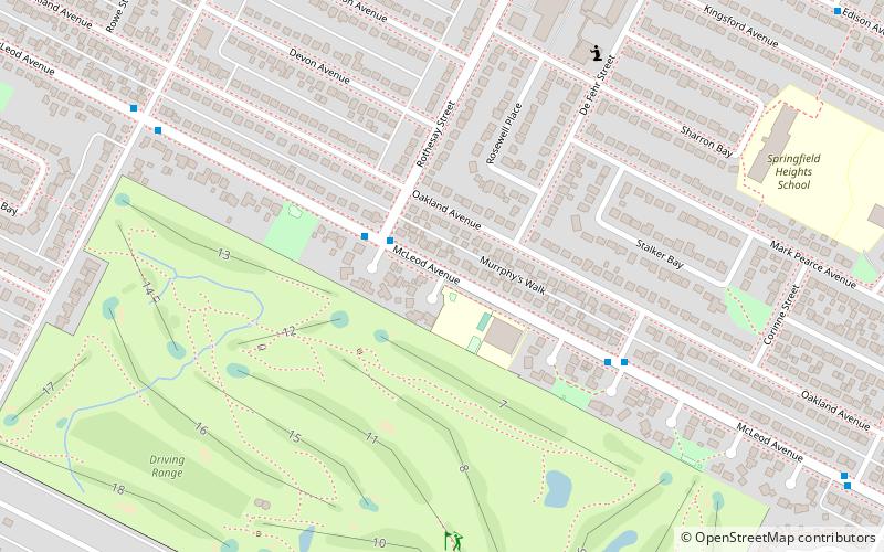
Rossmere is a provincial electoral division in the Canadian province of Manitoba. It was created by redistribution in 1968, and has formally existed since the provincial election of 1969. The riding is located in the northeastern section of the City of Winnipeg. ()
Coordinates: 49°55'59"N, 97°4'55"W
Address
River East (Rossmere)Winnipeg
ContactAdd
Social media
Add
Getting there by public transportation
Public transportation stops near this location
- Bus
 Bus
Bus
- Calculate routeWestbound McLeod at Rothesay 2 min walk
- Calculate routeEastbound McLeod at Golspie 5 min walk
Day trips


Frequently Asked Questions (FAQ)
How to get to Rossmere by public transport?
The nearest stations to Rossmere:
Bus
Bus
- Westbound McLeod at Rothesay • Lines: 77 (2 min walk)
- Eastbound McLeod at Golspie • Lines: 77 (5 min walk)