Langstaff, Vaughan

Map
Facts and practical information
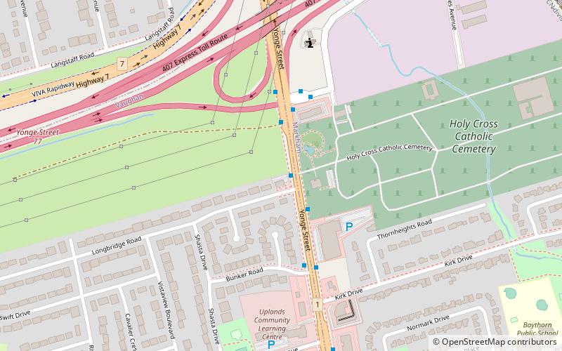
Langstaff is a residential area at the tripoint of the cities of Richmond Hill, Markham, and Vaughan in York Region, Ontario, Canada. Located near Highway 7 and Yonge Street, the homes in the area date to the 1960s and 1970s. The East Don River and CN Rail Bala subdivision runs through the area. ()
Coordinates: 43°49'51"N, 79°25'42"W
Address
UplandsVaughan
ContactAdd
Social media
Add
Day trips
Langstaff – popular in the area (distance from the attraction)
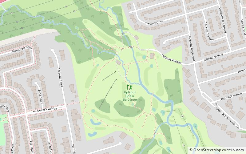
Nearby attractions include: Uplands Ski Centre, Holy Cross Cemetery, Canadian Museum of Hindu Civilization, Thornhill.
Frequently Asked Questions (FAQ)
Which popular attractions are close to Langstaff?
Nearby attractions include Holy Cross Cemetery, Markham (8 min walk), Canadian Museum of Hindu Civilization, Richmond Hill (13 min walk).
How to get to Langstaff by public transport?
The nearest stations to Langstaff:
Bus
Train
Bus
- Yonge Street / Longbridge Road • Lines: 760 (1 min walk)
Train
- Langstaff (15 min walk)


