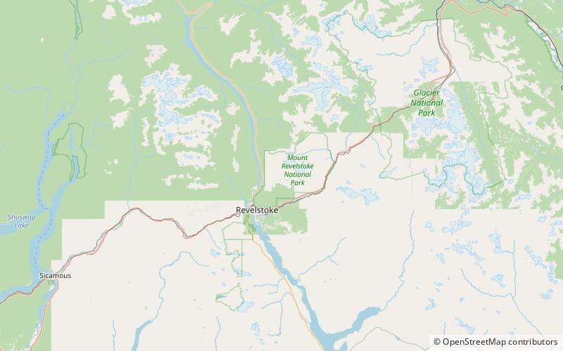
Clachnacudainn Range, Mount Revelstoke National Park
Map

Map

Facts and practical information
The Clachnacudainn Range is a subrange of the Selkirk Mountains in southeastern British Columbia, Canada, located within Mount Revelstoke National Park, just northeast of Revelstoke. It was named by Arthur Wheeler in reference to the Clachnacudainn charter stone, located in Inverness, Scotland. The range is bounded by the Illecillewaet River to the south, Lake Revelstoke to the west, and Carnes and Woolsey Creeks to the north and east. The highest point in the range is Mount Coursier at 2,648 metres. ()
Coordinates: 51°4'60"N, 118°5'60"W
Address
Mount Revelstoke National Park
ContactAdd
Social media
Add
Day trips
Clachnacudainn Range – popular in the area (distance from the attraction)
Nearby attractions include: Revelstoke Railway Museum.

