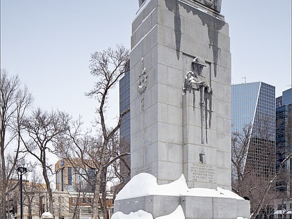
Regina Centre, Regina
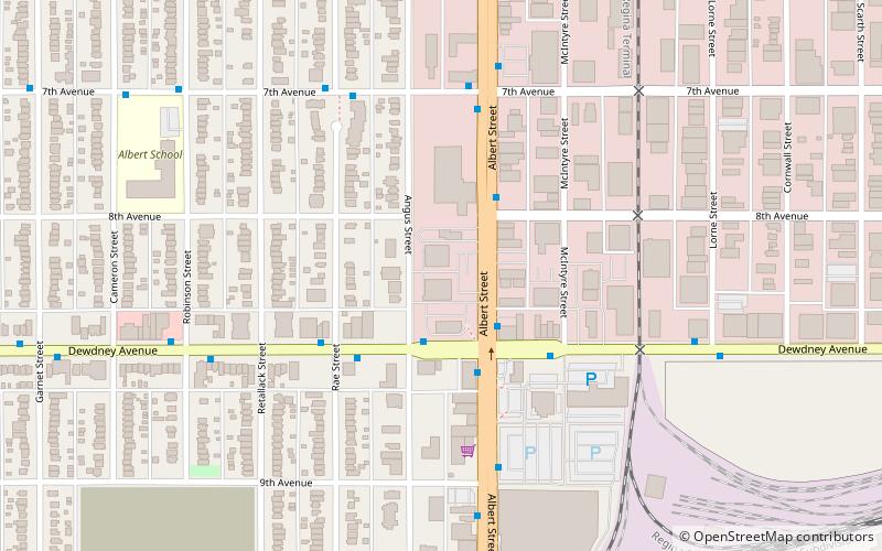
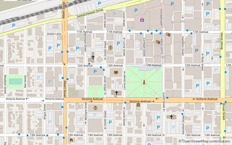
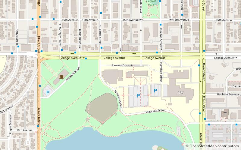
Map
Facts and practical information
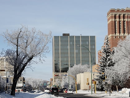
Regina Centre is a former provincial electoral division in the Canadian province of Saskatchewan, created in the redistribution prior to the 1967 election out of parts of Regina West and Regina North. It was abolished prior to the 2003 general election and is now part of Regina Elphinstone-Centre. It was the riding of Premier Allan Blakeney. ()
Coordinates: 50°27'22"N, 104°37'8"W
Address
Central Regina (North Central)Regina
ContactAdd
Social media
Add
Day trips
Regina Centre – popular in the area (distance from the attraction)
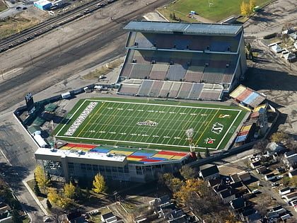
Nearby attractions include: Mosaic Stadium, Royal Saskatchewan Museum, Holy Rosary Cathedral, Regina Public Library.
Frequently Asked Questions (FAQ)
Which popular attractions are close to Regina Centre?
Nearby attractions include Iskcon Regina, Regina (6 min walk), Regina Elphinstone-Centre, Regina (6 min walk), Casino Regina, Regina (13 min walk), Albert Scott Park, Regina (14 min walk).
How to get to Regina Centre by public transport?
The nearest stations to Regina Centre:
Bus
Bus
- Dewdney Avenue @ Albert Street • Lines: 1 (2 min walk)
- Albert Street @ Dewdney Avenue • Lines: 1, 2, 3, 4, 40, 5 (2 min walk)
