Wismer Commons, Markham
Map

Map

Facts and practical information
Wismer Commons is a residential area of Markham, Ontario, Canada north of 16th Avenue, west of Highway 48 and east of McCowan Road. Wismer Commons is named after the Wismer Family, one of the founding pioneer families of Markham, Ontario. The family of David Wismer, originally from Germany and subsequently Pennsylvania, arrived in Markham Township in 1806. ()
Coordinates: 43°53'37"N, 79°17'41"W
Address
BerczyMarkham
ContactAdd
Social media
Add
Day trips
Wismer Commons – popular in the area (distance from the attraction)
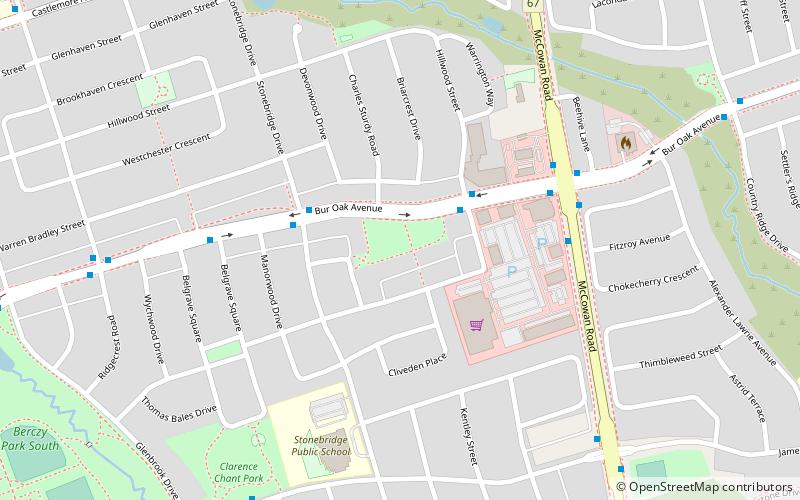
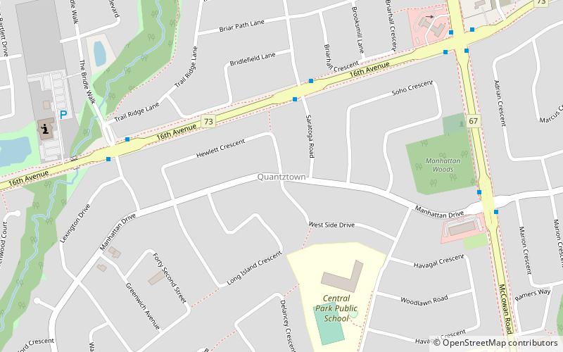
Nearby attractions include: Fairtree Golf Centre, Berczy Village, Quantztown, Raymerville – Markville East.
Frequently Asked Questions (FAQ)
Which popular attractions are close to Wismer Commons?
Nearby attractions include Berczy Village, Markham (20 min walk), Quantztown, Markham (21 min walk).
How to get to Wismer Commons by public transport?
The nearest stations to Wismer Commons:
Bus
Bus
- Bur Oak Avenue / Emery Hill Boulevard • Lines: 18 (2 min walk)
- McCowan Road Stop #6345 • Lines: 304 (5 min walk)


