Crystal Heights, Dartmouth
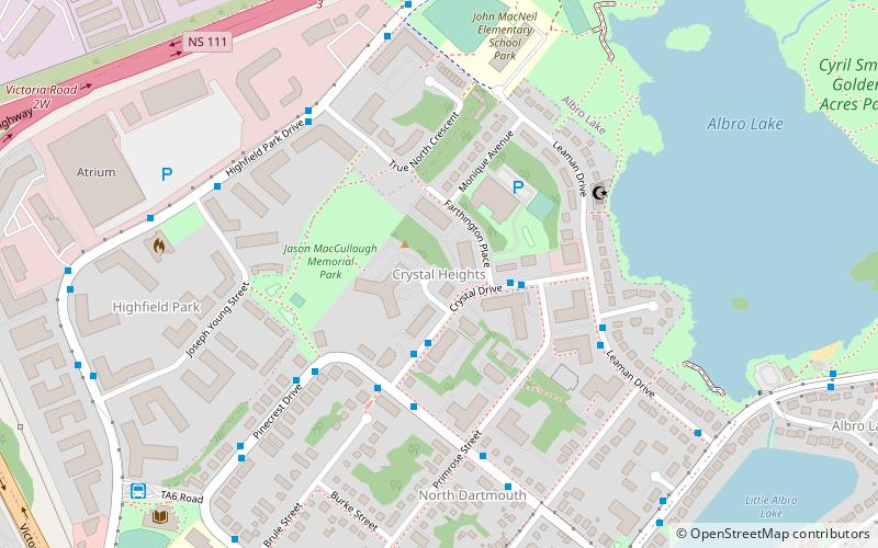
Map
Facts and practical information
Crystal Heights is a neighborhood in the north end of the Dartmouth area in Nova Scotia's Halifax Regional Municipality. ()
Coordinates: 44°41'15"N, 63°34'60"W
Address
Albro LakeDartmouth
ContactAdd
Social media
Add
Day trips
Crystal Heights – popular in the area (distance from the attraction)
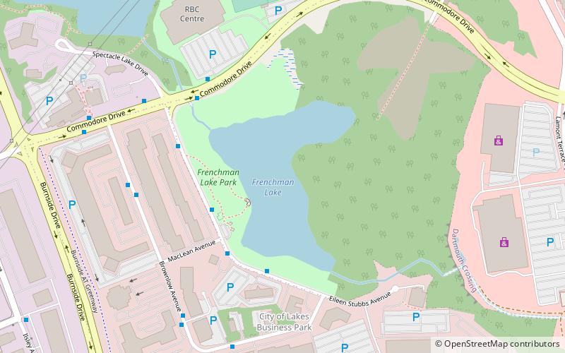
Nearby attractions include: Mic Mac Mall, Sullivan's Pond, Frenchman Lake, Sullivans Pond.
Frequently Asked Questions (FAQ)
Which popular attractions are close to Crystal Heights?
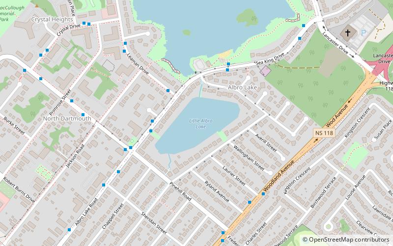
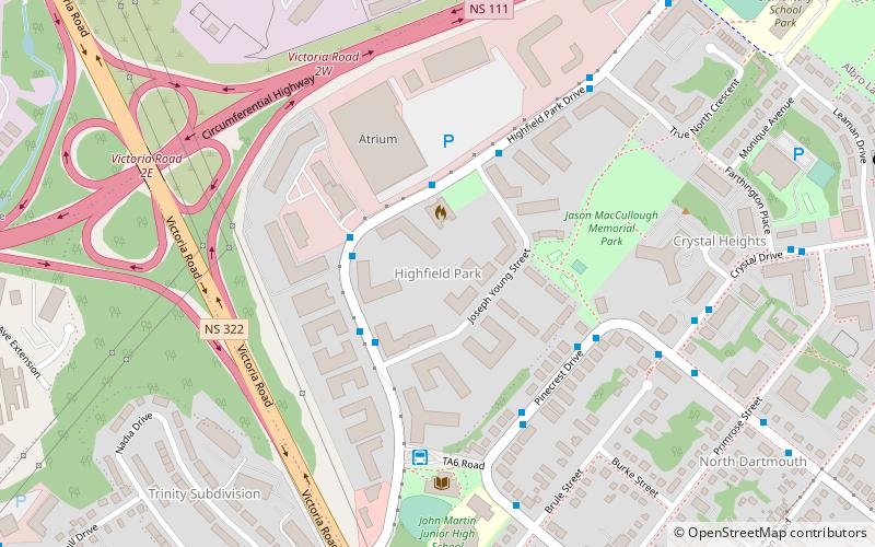
Nearby attractions include Highfield Park, Dartmouth (7 min walk), Albro Lake, Dartmouth (9 min walk), Little Albro Lake, Dartmouth (10 min walk), Tufts Cove, Dartmouth (22 min walk).
How to get to Crystal Heights by public transport?
The nearest stations to Crystal Heights:
Bus
Bus
- Highfield Terminal (10 min walk)
- 8581 - Woodland Ave After Laurier St • Lines: 10 (15 min walk)


