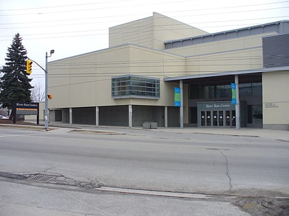
Guelph City Hall, Guelph
Map
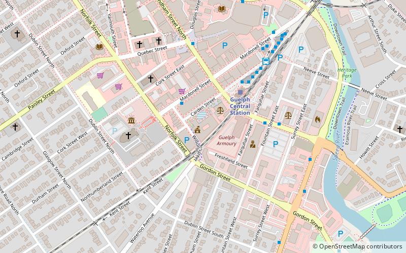
Map

Facts and practical information
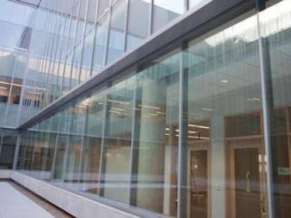
Guelph City Hall is the seat of local government in Guelph, Ontario, Canada. ()
Completed: 2009 (17 years ago)Coordinates: 43°32'36"N, 80°14'55"W
Day trips
Guelph City Hall – popular in the area (distance from the attraction)
Nearby attractions include: Guelph Civic Museum, Sleeman Centre, Basilica of Our Lady Immaculate, McCrae House.
Frequently Asked Questions (FAQ)
Which popular attractions are close to Guelph City Hall?
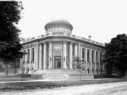
Nearby attractions include Old City Hall, Guelph (2 min walk), Guelph Farmers' Market, Guelph (2 min walk), Guelph Civic Museum, Guelph (4 min walk), Basilica of Our Lady Immaculate, Guelph (4 min walk).
How to get to Guelph City Hall by public transport?
The nearest stations to Guelph City Hall:
Train
Bus
Train
- Guelph Central Station (3 min walk)
Bus
- Wyndham at Fountain southbound • Lines: 8 (4 min walk)
- Guelph Central Station (5 min walk)
