Jack and Jean Leslie RiverWalk, Calgary
Facts and practical information
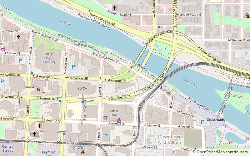
The Jack and Jean Leslie RiverWalk is a 2 kilometres section of the Bow River pathway between the Centre Street Bridge and the 9th Avenue SE Bridge, along the Bow and Elbow rivers in Downtown Calgary, Alberta, Canada. Phase III of stage 1 of the project was opened by the Calgary Municipal Land Corporation on September 27, 2012. Upon completion of all three stages of the project, the RiverWalk will stretch four kilometres, from the Centre Street Bridge on the Bow River to Lindsay Park along the Elbow River. In March 2015, the Jack and Jean Leslie RiverWalk was the recipient of the National Merit Award from the Canadian Society of Landscape Architects. The RiverWalk is part of a larger development of Calgary's East Village as part of that neighbourhood's area redevelopment plan. ()
Downtown CalgaryCalgary
- Bus
- Light rail
- Train
 Bus
Bus
- Calculate routeCity Hall 7 min walk
- Calculate routeCentre Street 10 min walk
- Calculate route1 Street Southwest 13 min walk
- Calculate routeBridgeland/Memorial 15 min walk
- Calculate routeMacleod Trail & 7 Avenue SE 7 min walk
- Calculate routeWB 4 Av SE @ 1 St SE 7 min walk
- Calculate routeStop ID 8075 10 min walk
- Calculate routeNB Centre St N @ 4 Ave S 10 min walk
- Calculate routeCalgary 17 min walk
Jack and Jean Leslie RiverWalk – popular in the area (distance from the attraction)
Nearby attractions include: Calgary Tower, Fort Calgary, Suncor Energy Centre, Centre Street Bridge.


Frequently Asked Questions (FAQ)
Which popular attractions are close to Jack and Jean Leslie RiverWalk?
How to get to Jack and Jean Leslie RiverWalk by public transport?
Light rail
- City Hall • Lines: 201, 202 (7 min walk)
- Centre Street • Lines: 201, 202 (10 min walk)
Bus
- Macleod Trail & 7 Avenue SE • Lines: 300 (7 min walk)
- WB 4 Av SE @ 1 St SE • Lines: 300 (7 min walk)
Train
- Calgary (17 min walk)