Big Bend Peak
Map
Map

Facts and practical information
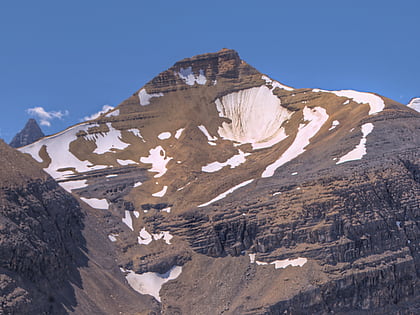
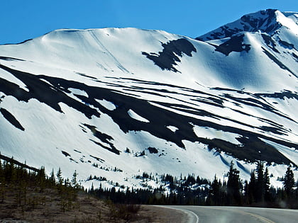
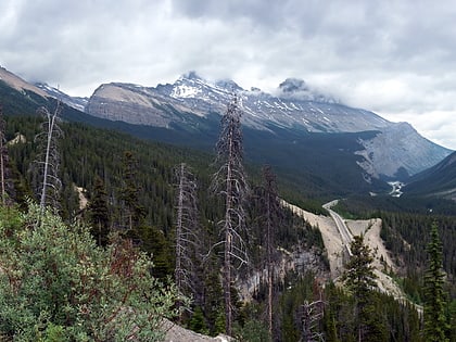
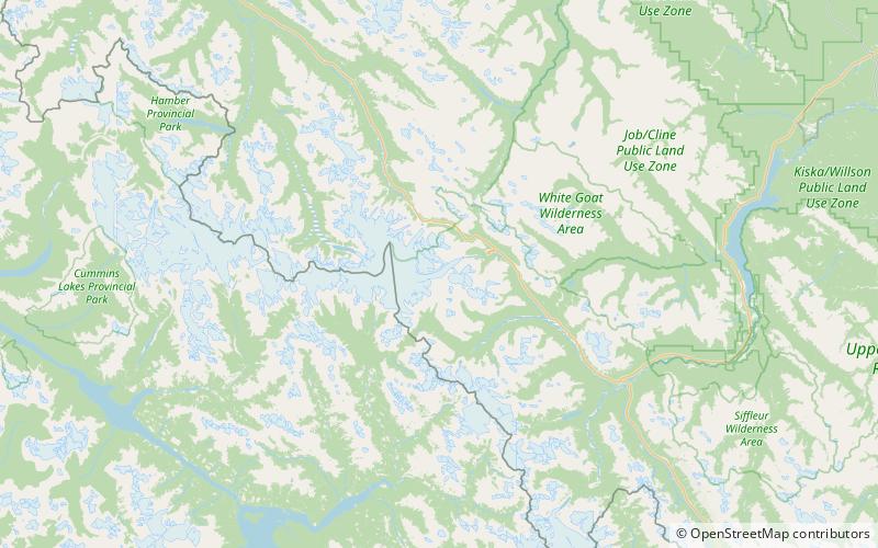
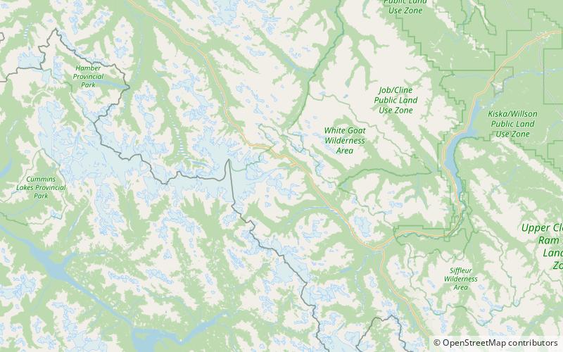
Big Bend Peak is a 2,804-metre mountain summit located in the upper North Saskatchewan River valley in Banff National Park, in the Canadian Rockies of Alberta, Canada. Its nearest higher peak is Mount Saskatchewan, 5.5 km to the south. Big Bend Peak is situated on the west side the Icefields Parkway four kilometres southwest of the "big bend" in the road, hence the peak's name origin. ()
Coordinates: 52°8'52"N, 117°6'39"W
Location
Alberta
ContactAdd
Social media
Add
Day trips
Big Bend Peak – popular in the area (distance from the attraction)
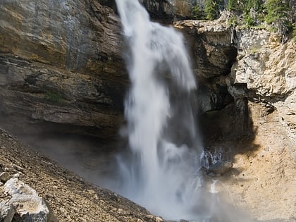
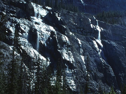
Nearby attractions include: Castleguard Cave, Parker Ridge, Panther Falls, Mount Athabasca.
