Lac des Alliés
Map
Facts and practical information
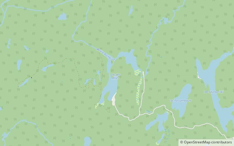
The Lac des Alliés is a freshwater body crossed west by the Rocheuse River, located in the unorganized territory of Lac-Jacques-Cartier, in the La Côte-de-Beaupré Regional County Municipality, in administrative region of Capitale-Nationale, in province of Quebec, in Canada. ()
Elevation: 2346 ft a.s.l.Coordinates: 47°22'35"N, 71°20'57"W
Location
Québec
ContactAdd
Social media
Add
Day trips