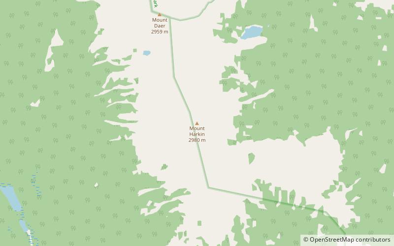
Mount Harkin
Map

Map

Facts and practical information
Mount Harkin is a 2,979-metre mountain summit located in the Kootenay River Valley along the eastern border of Kootenay National Park. Park visitors can see the peak from Highway 93, also known as the Banff–Windermere Highway. It is part of the Mitchell Range, which is a sub-range of the Canadian Rockies of British Columbia, Canada. Its nearest higher peak is Mount Assiniboine, 14.0 km to the northeast. ()
Coordinates: 50°47'49"N, 115°51'51"W
Location
British Columbia
ContactAdd
Social media
Add
Day trips
Mount Harkin – popular in the area (distance from the attraction)
Nearby attractions include: Mount Selkirk.

