Cité du Multimédia, Montreal
Map
Facts and practical information
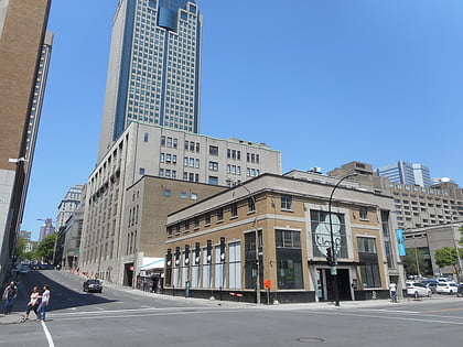
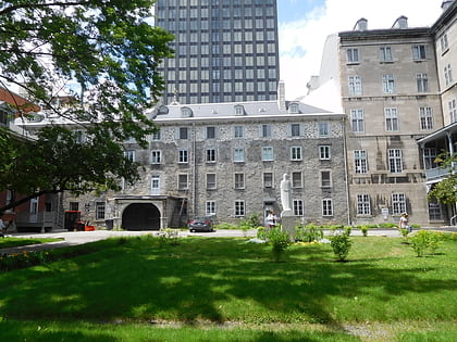
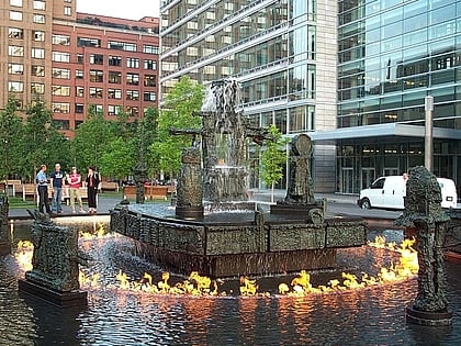
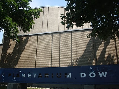
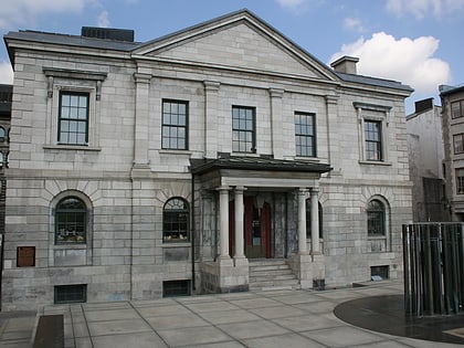
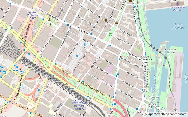
The Cité du Multimédia is a neighborhood in Montreal, Quebec, Canada, located between Old Montreal, Griffintown and Downtown Montreal. The neighborhood is the result of a vast real-estate project launched by the Quebec government in the late 1990s which redeveloped abandoned nineteenth century industrial buildings into a business cluster for information technology companies. ()
Coordinates: 45°29'56"N, 73°33'27"W
Address
Ville-Marie District (Vieux-Montréal)Montreal
ContactAdd
Social media
Add
Day trips
Cité du Multimédia – popular in the area (distance from the attraction)
Nearby attractions include: Pointe-à-Callière, Centre d'histoire de Montréal, Time Supper Club, Place Bonaventure.
Frequently Asked Questions (FAQ)
Which popular attractions are close to Cité du Multimédia?
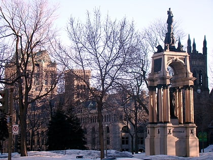
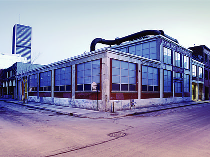
Nearby attractions include Fonderie Darling, Montreal (3 min walk), Douane, Montreal (4 min walk), McGill Street, Montreal (4 min walk), Pioneers' Obelisk, Montreal (5 min walk).
How to get to Cité du Multimédia by public transport?
The nearest stations to Cité du Multimédia:
Bus
Metro
Train
Bus
- McGill / Saint-Paul • Lines: 35-O, 61-O, 75-N (3 min walk)
- McGill / Le Moyne • Lines: 35-E, 61-E (3 min walk)
Metro
- Square-Victoria-OACI • Lines: 2 (9 min walk)
- Bonaventure • Lines: 2 (12 min walk)
Train
- Montreal Central Station (13 min walk)
- Lucien-L'Allier (19 min walk)
 Metro
Metro

