Mont-Valin

Gallery (1)
Map
Map
Facts and practical information
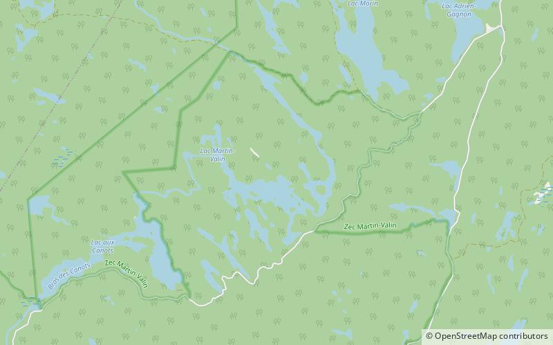
Mont-Valin is an unorganized territory in the Canadian province of Quebec. It makes up over 87% of Le Fjord-du-Saguenay Regional County Municipality and is the largest subdivision of the Saguenay–Lac-Saint-Jean region. The territory, named after Mount Valin, had a population of 10 as of the Canada 2021 Census, and covered a land area of 33,540.39 km2. ()
Area: 14684.33 mi²Elevation: 2234 ft a.s.l.Coordinates: 48°35'35"N, 70°48'45"W
Day trips