Woodward's 43, Vancouver

Gallery (1)
Map

Map
Facts and practical information
Woodward's 43, also known as W43 or the W Building, is a 122.3 m tall mixed-use skyscraper located in the Downtown Eastside of Vancouver, British Columbia, Canada. ()
Coordinates: 49°16'59"N, 123°6'29"W
Address
Downtown VancouverVancouver
ContactAdd
Social media
Add
Getting there by public transportation
Public transportation stops near this location
- Metro
- Bus
- Trolleybus
- Train
- Ferry
 Metro
Metro
- Calculate routeWest Hastings Street at Abbott Street 2 min walk
- Calculate routeEast Hastings Street at Cambie St 2 min walk
- Calculate routeWest Cordova St at Homer St 3 min walk
- Calculate routeWater Street at Abbott Street 3 min walk
- Calculate routeWest Hastings Street at Abbott Street 2 min walk
- Calculate routeEast Hastings Street at Cambie St 2 min walk
- Calculate routeWest Cordova St at Homer St 3 min walk
- Calculate routeStadium–Chinatown 7 min walk
- Calculate routeWaterfront 8 min walk
- Calculate routeGranville 9 min walk
- Calculate routeVancouver City Centre 13 min walk
- Calculate routeWaterfront 7 min walk
- Calculate routeVancouver Pacific Central 20 min walk
- Calculate routeVancouver 36 min walk
- Calculate routeWaterfront 8 min walk
- Calculate routePlaza of Nations Dock 16 min walk
- Calculate routeVillage Dock 19 min walk
- Calculate routeSpyglass Dock 23 min walk
Maps SkyTrain
SkyTrainDay trips
Woodward's 43 – popular in the area (distance from the attraction)
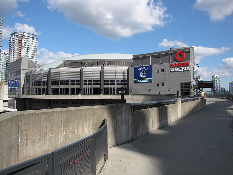
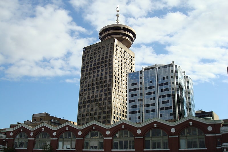
Nearby attractions include: Rogers Arena, Harbour Centre, Fortune Sound Club, Sinclair Centre.


Frequently Asked Questions (FAQ)
Which popular attractions are close to Woodward's 43?
Nearby attractions include Woodward's Building, Vancouver (1 min walk), Storyeum, Vancouver (2 min walk), Dominion Building, Vancouver (3 min walk), Inuit Gallery of Vancouver, Vancouver (3 min walk).
How to get to Woodward's 43 by public transport?
The nearest stations to Woodward's 43:
Bus
Trolleybus
Metro
Train
Ferry
Bus
- West Hastings Street at Abbott Street • Lines: R5 (2 min walk)
- East Hastings Street at Cambie St • Lines: R5 (2 min walk)
Trolleybus
- West Hastings Street at Abbott Street • Lines: 14, 16, 20, 3, 8 (2 min walk)
- East Hastings Street at Cambie St • Lines: 14, 16, 20 (2 min walk)
Metro
- Stadium–Chinatown • Lines: Expo Line (7 min walk)
- Waterfront • Lines: Canada Line, Expo Line (8 min walk)
Train
- Waterfront (7 min walk)
- Vancouver Pacific Central (20 min walk)
Ferry
- Waterfront • Lines: SeaBus (8 min walk)
- Plaza of Nations Dock • Lines: Aquabus, False Creek Ferries Route 3 (16 min walk)