Ranchlands, Calgary
Map
Facts and practical information
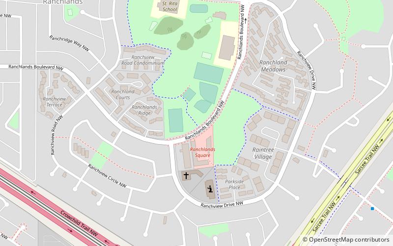
Ranchlands is a residential neighbourhood in the northwest quadrant of Calgary, Alberta. It is bounded to the north by John Laurie Boulevard, to the east by Sarcee Trail, to the south by Crowchild Trail and to the west by Nose Hill Drive. ()
Area: 0.89 mi²Coordinates: 51°6'60"N, 114°10'50"W
Getting there by public transportation
Public transportation stops near this location
- Bus
- Light rail
 Bus
Bus
- Calculate routeCrowfoot 31 min walk
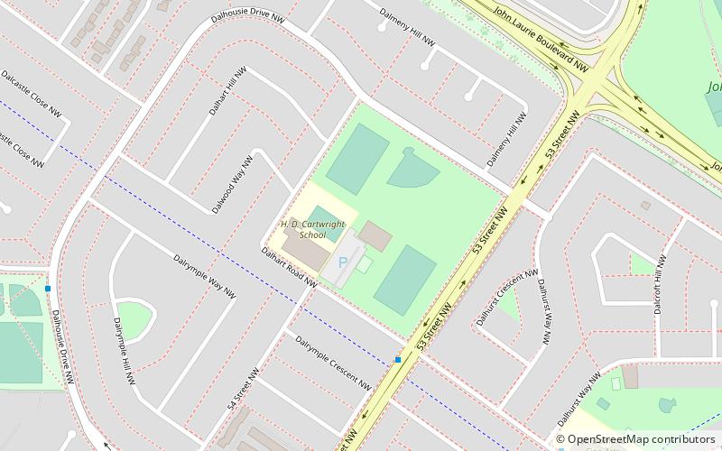
- Calculate routeDalhousie 32 min walk
- Calculate routeCrowfoot 33 min walk
- Calculate routeDalhousie 34 min walk
Day trips

Frequently Asked Questions (FAQ)
Which popular attractions are close to Ranchlands?
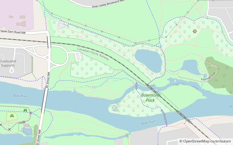
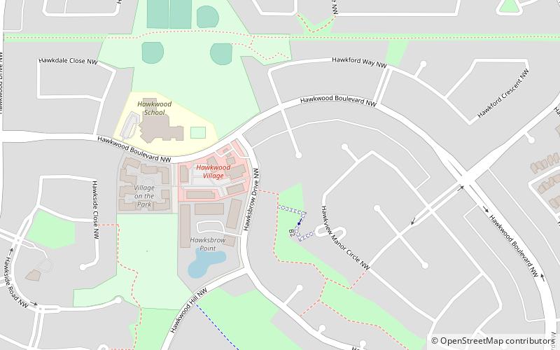
Nearby attractions include Calgary Nose Hill, Calgary (24 min walk), Hawkwood, Calgary (24 min walk).
How to get to Ranchlands by public transport?
The nearest stations to Ranchlands:
Light rail
Bus
Light rail
- Crowfoot • Lines: 201 (31 min walk)
- Dalhousie • Lines: 201 (32 min walk)
Bus
- Crowfoot (33 min walk)
- Dalhousie (34 min walk)