Mainland Halifax, Halifax
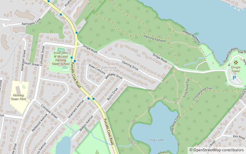
Map
Facts and practical information
Mainland Halifax is a community and planning area in central Nova Scotia, Canada that refers to the central-eastern part of the Chebucto Peninsula in the Halifax Regional Municipality. It contrasts with Halifax Peninsula, which lies across the Northwest Arm. ()
Coordinates: 44°37'46"N, 63°36'19"W
Address
ArmdaleHalifax
ContactAdd
Social media
Add
Getting there by public transportation
Public transportation stops near this location
- Bus
 Bus
Bus
- Calculate route6206 - Beaufort Ave After South St 16 min walk
- Calculate route6211 - Beaufort Ave Before South St 16 min walk
- Calculate route6209 - Beaufort Ave Before Oakland Rd 17 min walk
- Calculate route6210 - Beaufort Ave Before Oakland Rd 18 min walk
Day trips


Frequently Asked Questions (FAQ)
Which popular attractions are close to Mainland Halifax?
Nearby attractions include Sir Sandford Fleming Park, Halifax (4 min walk), Deadman's Island, Halifax (12 min walk), The Waegwoltic Club, Halifax (15 min walk), Conrose Park, Halifax (18 min walk).
How to get to Mainland Halifax by public transport?
The nearest stations to Mainland Halifax:
Bus
Bus
- 6206 - Beaufort Ave After South St • Lines: 10 (16 min walk)
- 6211 - Beaufort Ave Before South St • Lines: 10 (16 min walk)