Halifax Citadel-Sable Island, Halifax
Map
Facts and practical information
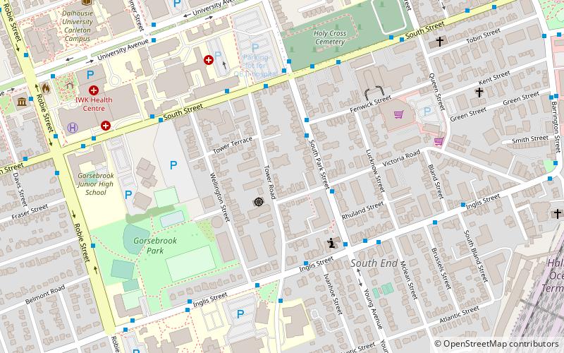
Halifax Citadel-Sable Island is a provincial electoral district in Halifax, Nova Scotia, Canada, that elects one member of the Nova Scotia House of Assembly. ()
Coordinates: 44°38'10"N, 63°34'41"W
Address
South EndHalifax
ContactAdd
Social media
Add
Getting there by public transportation
Public transportation stops near this location
- Bus
- Train
 Bus
Bus
- Calculate route8315 - South Park St After Fenwick St 2 min walk
- Calculate route8314 - South Park St Before Victoria Rd 2 min walk
- Calculate route8306 - South Park St After Fenwick St 3 min walk
- Calculate route6970 - Inglis St Before Tower Rd 4 min walk
- Calculate routeHalifax 15 min walk
Day trips


Frequently Asked Questions (FAQ)
Which popular attractions are close to Halifax Citadel-Sable Island?
Nearby attractions include Gorsebrook Park, Halifax (6 min walk), Holy Cross Cemetery, Halifax (7 min walk), All Saints Cathedral, Halifax (8 min walk), Fort Massey Cemetery, Halifax (8 min walk).
How to get to Halifax Citadel-Sable Island by public transport?
The nearest stations to Halifax Citadel-Sable Island:
Bus
Train
Bus
- 8315 - South Park St After Fenwick St • Lines: 10 (2 min walk)
- 8314 - South Park St Before Victoria Rd • Lines: 10 (2 min walk)
Train
- Halifax (15 min walk)