Stanhope-Marshfield, Prince Edward Island

Map
Facts and practical information
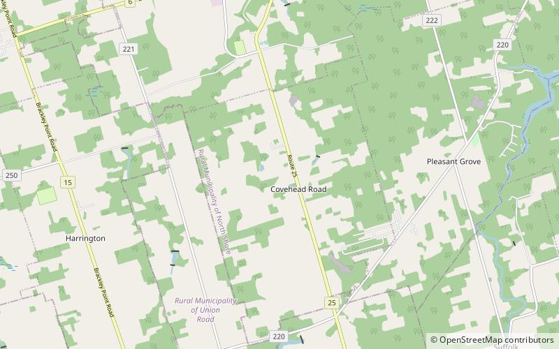
Stanhope-Marshfield is a provincial electoral district for the Legislative Assembly of Prince Edward Island, Canada. It was created prior to the 2019 election from parts of the former districts Tracadie-Hillsborough Park and York-Oyster Bed. ()
Coordinates: 46°21'40"N, 63°7'12"W
Address
Prince Edward Island
ContactAdd
Social media
Add
Day trips
Stanhope-Marshfield – popular in the area (distance from the attraction)
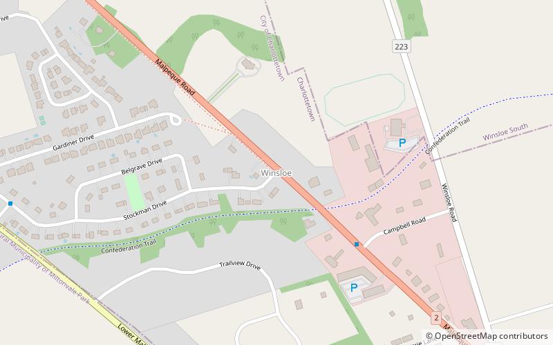
Nearby attractions include: Prince Edward Island National Park, Brackley Beach, Winsloe, Red Point Provincial Park.


