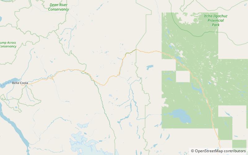
Atnarko, Tweedsmuir South Provincial Park

Map
Facts and practical information
Atnarko is a locality on the Atnarko River, at the south end of Tweedsmuir Provincial Park in the Bella Coola Valley region of British Columbia, Canada. The original name of the post office located here was Anaham, a name associated with the Tsilhqot'in people of the neighbouring Chilcotin Country region. Opened under that name in 1907, it was changed to Atnarko in 1913, with the post office itself closing in 1932. ()
Coordinates: 52°24'1"N, 125°50'7"W
Address
Tweedsmuir South Provincial Park
ContactAdd
Social media
Add