Fraser Pass
Map
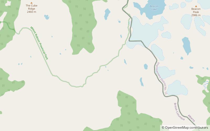
Map

Facts and practical information
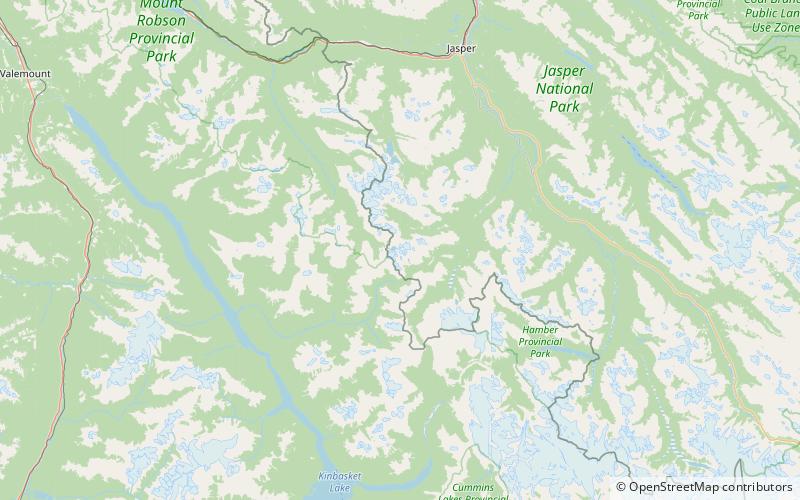
The Fraser Pass is a mountain pass in the British Columbian Rockies of Western Canada. Its summit is 2,015 m above sea level. Although immediately adjacent to the Continental Divide, the pass does not cross it; rather, it bridges the drainage basins of the Fraser River and Columbia River, both Pacific-draining rivers. ()
Coordinates: 52°30'60"N, 118°18'7"W
Location
British Columbia
ContactAdd
Social media
Add
Day trips
Fraser Pass – popular in the area (distance from the attraction)
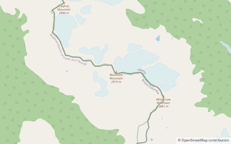
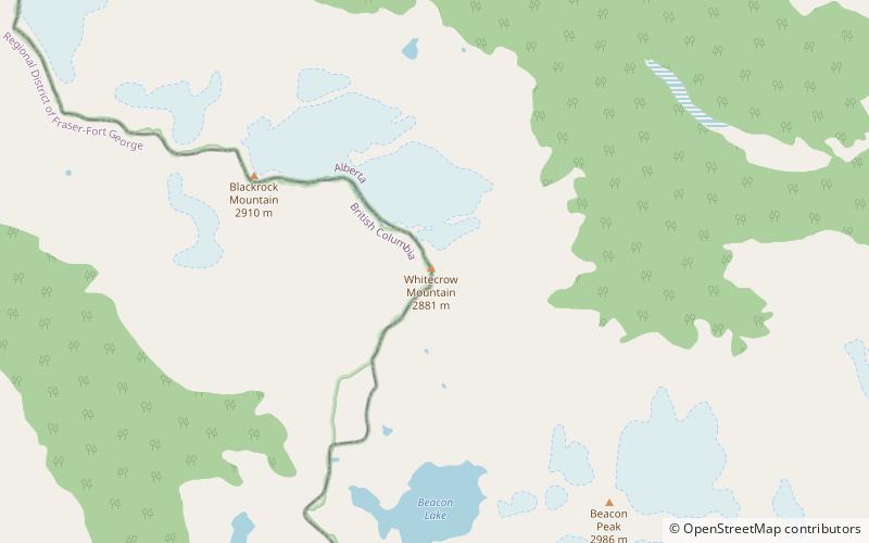
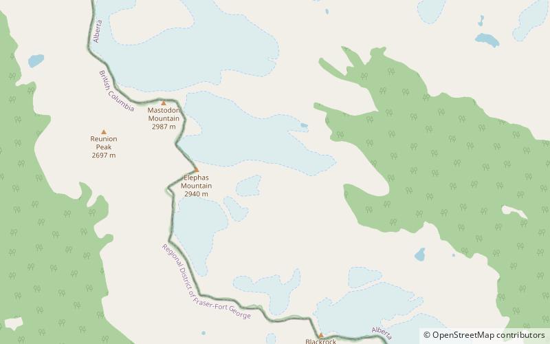
Nearby attractions include: Blackrock Mountain, Whitecrow Mountain, Elephas Mountain, Beacon Peak.

