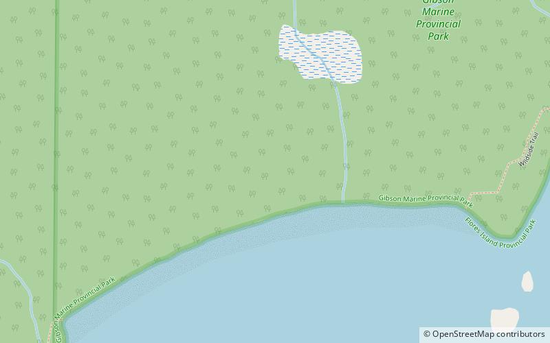
Wildside, Flores Island
Map

Map

Facts and practical information
The Ahousaht Wildside Heritage Trail is a hiking trail on Flores Island, British Columbia, Canada in Ahousaht Traditional Territories that connects the town of Ahousat, the village of Marktosis, to several beaches and wild forest and is 11 km long one way ending in Cow Bay. The trail features signage at locations important to the Ahousat people; further information about each location of importance is shared in a guidebook published by Elder Stanley Sam. ()
Coordinates: 49°15'36"N, 126°4'29"W
Address
Flores Island
ContactAdd
Social media
Add
Day trips
Wildside – popular in the area (distance from the attraction)
Nearby attractions include: Flores Island Marine Provincial Park, Gibson Marine Provincial Park.


