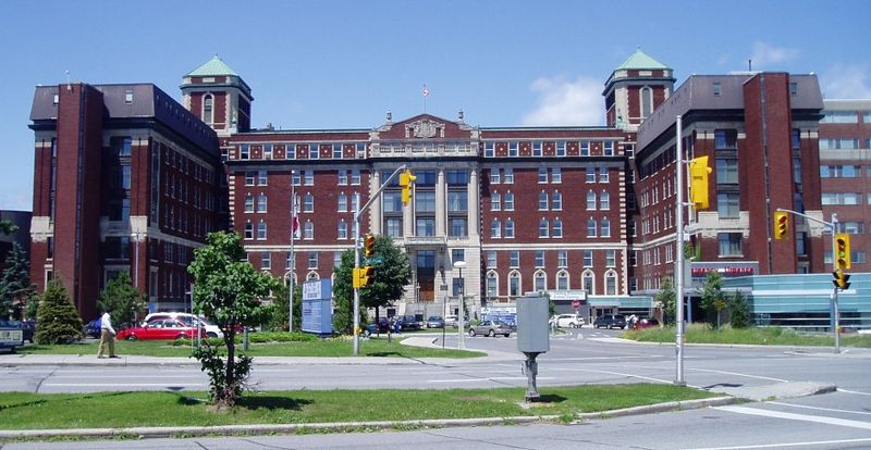
Civic Hospital, Ottawa

Gallery (3)
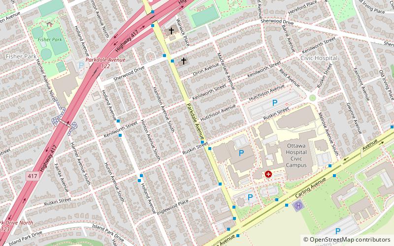
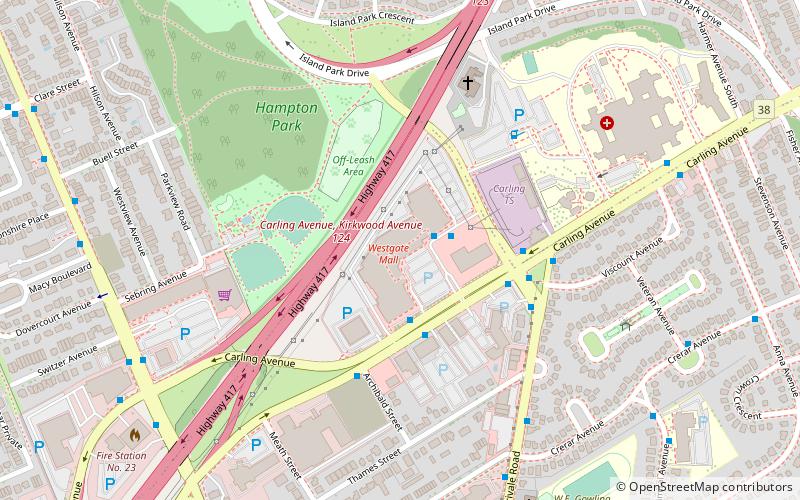
Map
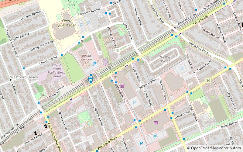
Map
Gallery
Facts and practical information
Coordinates: 45°23'38"N, 75°43'30"W
Address
Civic HospitalOttawa
ContactAdd
Social media
Add
Getting there by public transportation
Public transportation stops near this location
- Bus
- Light rail
 Bus
Bus
- Calculate routeParkdale / Ruskin 2 min walk
- Calculate routeHolland / Kenilworth 5 min walk
- Calculate routeTunney's Pasture O-Train East/Est 22 min walk
- Calculate routeBayview O-Train West/Ouest 28 min walk
Day trips


Frequently Asked Questions (FAQ)
Which popular attractions are close to Civic Hospital?
Nearby attractions include Wellington Village, Ottawa (15 min walk), Cube Gallery, Ottawa (16 min walk), St. George's Parish, Ottawa (19 min walk), Hampton Park, Ottawa (20 min walk).
How to get to Civic Hospital by public transport?
The nearest stations to Civic Hospital:
Bus
Light rail
Bus
- Parkdale / Ruskin • Lines: 114, 53 (2 min walk)
- Holland / Kenilworth • Lines: 56, 80, 86, 89 (5 min walk)
Light rail
- Tunney's Pasture O-Train East/Est • Lines: 1 (22 min walk)
- Bayview O-Train West/Ouest • Lines: 1 (28 min walk)