Lac au Sable, Zec du Lac-au-Sable

Map
Facts and practical information
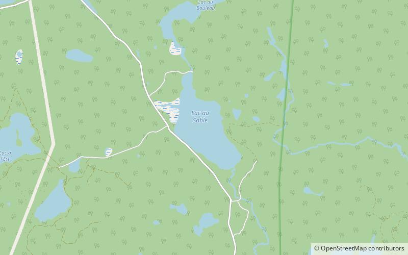
The Lac au Sable is a body of water crossed from south to north by the Petit Saguenay River, in the unorganized territory of Mont-Élie, in the Charlevoix-Est Regional County Municipality of the administrative region Capitale-Nationale, in Quebec, at Canada. ()
Elevation: 1460 ft a.s.l.Coordinates: 47°56'31"N, 70°15'24"W
Address
Zec du Lac-au-Sable
ContactAdd
Social media
Add
Day trips
Lac au Sable – popular in the area (distance from the attraction)
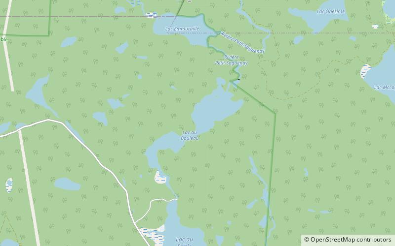
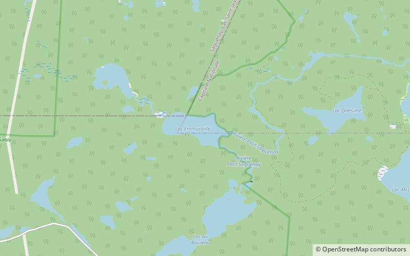
Nearby attractions include: Lac au Bouleau, Emmuraillé Lake.

