Surrey-Guildford, Surrey
Map
Facts and practical information
Surrey-Guildford is a provincial electoral district for the Legislative Assembly of British Columbia, Canada, that was created in the 2015 redistribution from parts of Surrey-Tynehead and Surrey-Whalley. It was first contested in the 2017 election. Surrey-Guildford consists of a large part of what used to be Surrey-Tynehead, a provincial riding that was held by the BC Liberals since Dave Hayer was first elected in 2001, and then re-elected in 2005 and 2009. ()
Coordinates: 49°11'49"N, 122°49'48"W
Address
WhalleySurrey
ContactAdd
Social media
Add
Getting there by public transportation
Public transportation stops near this location
- Metro
- Bus
 Metro
Metro
- Calculate route108 Ave at 142 St 4 min walk
- Calculate route104 Ave at 142 St 10 min walk
- Calculate routeGateway 24 min walk
- Calculate routeSurrey Central 25 min walk
- Calculate routeKing George 31 min walk
Day trips


Frequently Asked Questions (FAQ)
Which popular attractions are close to Surrey-Guildford?
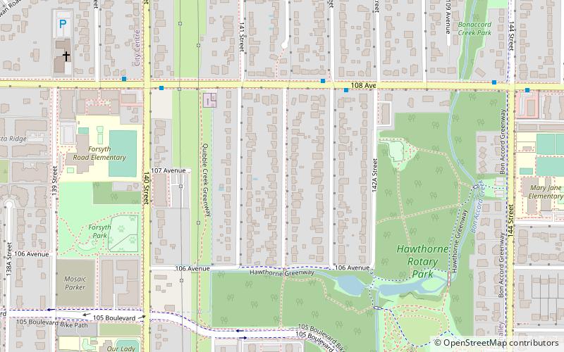
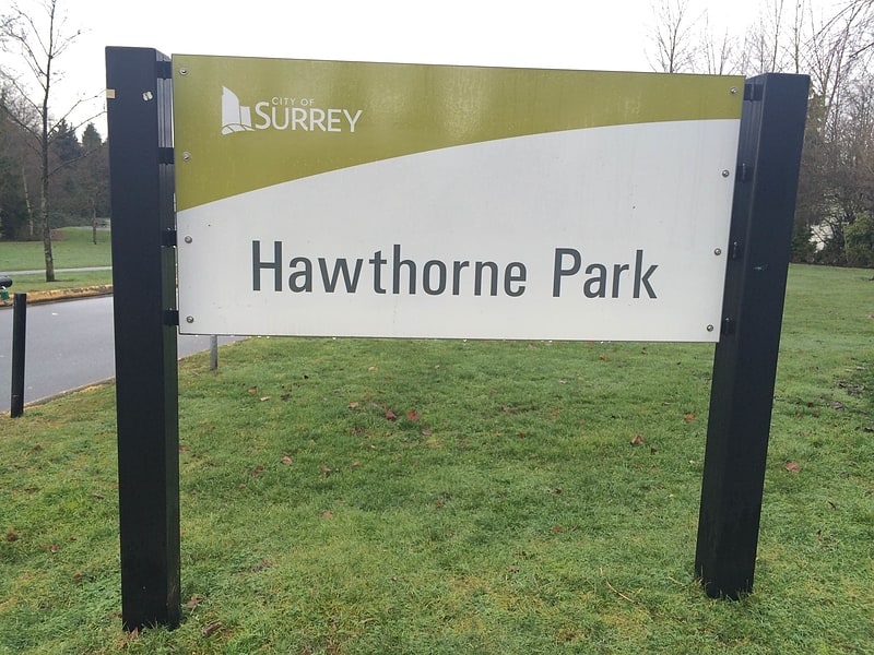
Nearby attractions include Hawthorne Park, Surrey (6 min walk), Cedar Grove Organic Garden, Surrey (16 min walk), Port Mann, Surrey (24 min walk).
How to get to Surrey-Guildford by public transport?
The nearest stations to Surrey-Guildford:
Bus
Metro
Bus
- 108 Ave at 142 St • Lines: 335 (4 min walk)
- 104 Ave at 142 St • Lines: 320 (10 min walk)
Metro
- Gateway • Lines: Expo Line (24 min walk)
- Surrey Central • Lines: Expo Line (25 min walk)