Matsqui, Abbotsford
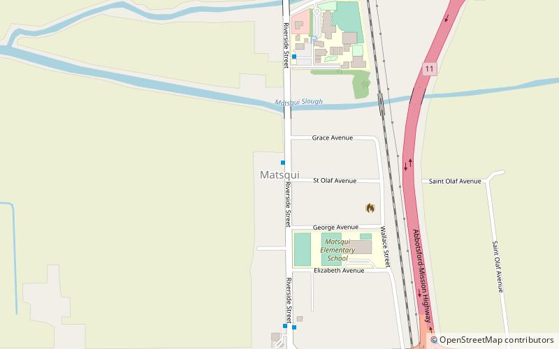
Map
Facts and practical information
Matsqui is a former District Municipality in British Columbia, Canada. It was incorporated in 1892, and merged with the District Municipality of Abbotsford in 1995 to create the new City of Abbotsford. Matsqui used to be the west part of what is now Abbotsford. It had commercial growth in the Clearbrook area which then spilled over to Abbotsford. ()
Coordinates: 49°6'27"N, 122°17'40"W
Address
Matsqui PrairieAbbotsford
ContactAdd
Social media
Add
Day trips
Matsqui – popular in the area (distance from the attraction)
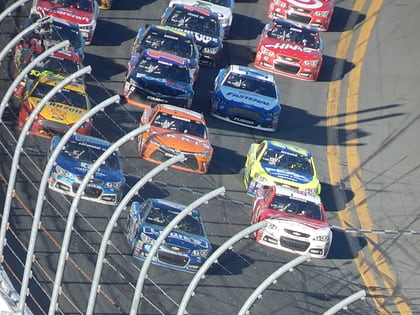
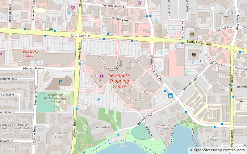
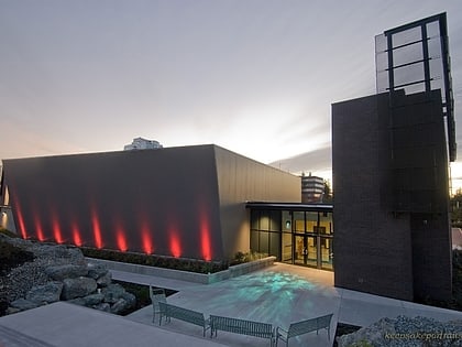
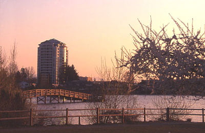
Nearby attractions include: Mission Raceway Park, Pandora, The Reach Gallery Museum, Mill Lake.
Frequently Asked Questions (FAQ)
How to get to Matsqui by public transport?
The nearest stations to Matsqui:
Bus
Bus
- Riverside at St Olaf • Lines: 31 (1 min walk)
- Hwy 11 at Harris • Lines: 31 (9 min walk)
