Milliken, Markham
Map

Gallery

Facts and practical information
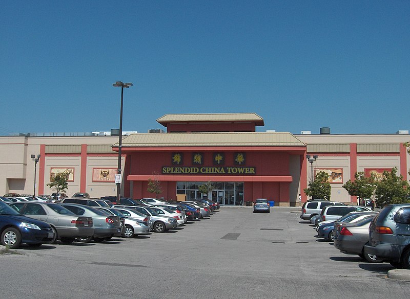
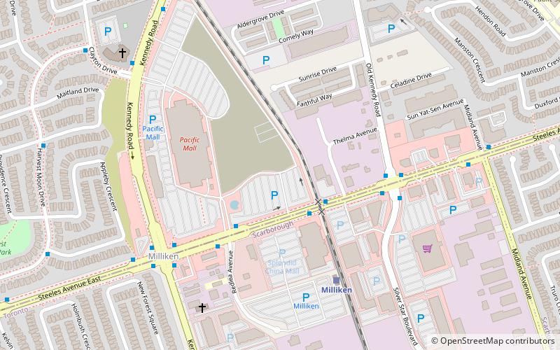
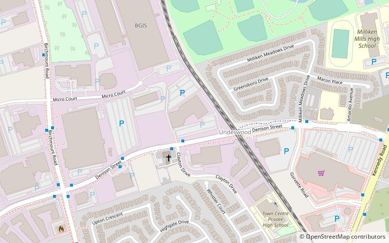
Milliken and Milliken Mills are neighbourhoods in the cities of Toronto and Markham. Milliken is situated in the north west section of Scarborough, whereas Milliken Mills is situated in the south-central portions of Markham. The neighbourhoods are centered on Kennedy Road and Steeles Avenue, the latter street serving as the boundary between the cities of Markham and Toronto. ()
Coordinates: 43°49'33"N, 79°18'3"W
Address
Milliken Mills EastMarkham
ContactAdd
Social media
Add
Day trips
Milliken – popular in the area (distance from the attraction)
Nearby attractions include: Pacific Mall, Splendid China Mall, Remington Centre, Crystal Fountain Event Venue.
Frequently Asked Questions (FAQ)
How to get to Milliken by public transport?
The nearest stations to Milliken:
Bus
Train
Bus
- Steeles Avenue at Silver Star Boulevard • Lines: (N) 353, 53A, 53B (2 min walk)
- Steeles Avenue at Midland Avenue • Lines: (N) 353, 53A, 53B, 935A, 953B (5 min walk)
Train
- Milliken (5 min walk)


