Clayburn, Abbotsford
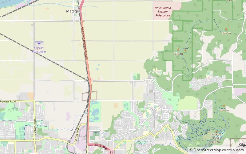
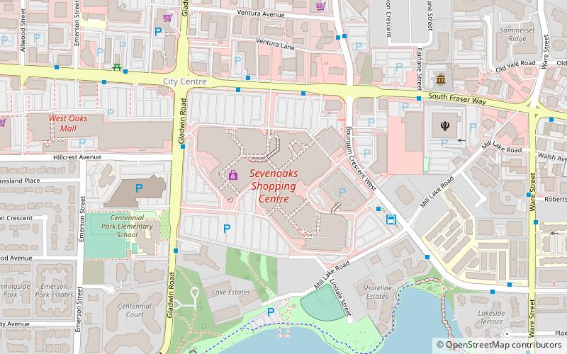
Map
Facts and practical information
Clayburn is British Columbia’s first company town. It is situated at the foot of Sumas Mountain within the boundaries of the City of Abbotsford. Today the village and the brick plant site are classified as the municipally designated Clayburn Village Heritage Conservation Area. The Clayburn church and Clayburn schoolhouse are provincially designated heritage buildings. ()
Coordinates: 49°4'60"N, 122°16'0"W
Address
Matsqui PrairieAbbotsford
ContactAdd
Social media
Add
Day trips
Clayburn – popular in the area (distance from the attraction)
Nearby attractions include: Abbotsford Centre, Mission Raceway Park, Pandora, The Reach Gallery Museum.
Frequently Asked Questions (FAQ)
How to get to Clayburn by public transport?
The nearest stations to Clayburn:
Bus
Bus
- Hwy 11 at McCallum • Lines: 31 (37 min walk)
