Longue-Pointe, Montreal

Gallery (1)
Map
Map
Facts and practical information
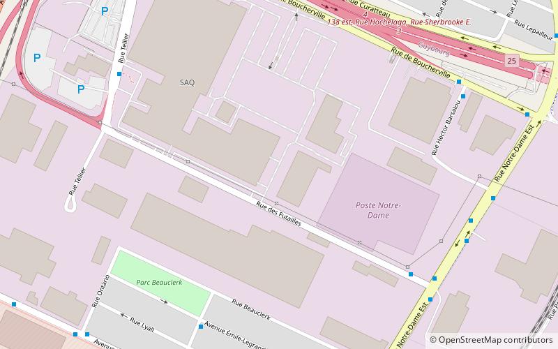
Longue-Pointe was a Montreal neighbourhood now located in the borough of Mercier-Hochelaga-Maisonneuve. The neighborhood was permanently divided by the construction of the Louis-Hippolyte Lafontaine Tunnel. Most of its territory is now part of the Mercier-Ouest while some of the area that fell east of the highway is now within Mercier-Est. ()
Coordinates: 45°34'60"N, 73°31'0"W
Address
Mercier-Hochelaga-Maisonneuve (Guybourg)Montreal
ContactAdd
Social media
Add
Getting there by public transportation
Public transportation stops near this location
- Metro
- Bus
 Metro
Metro
- Calculate routedes Futailles / Notre-Dame 7 min walk
- Calculate routeTellier / des Futailles 8 min walk
- Calculate routeNotre-Dame / des Futailles 8 min walk
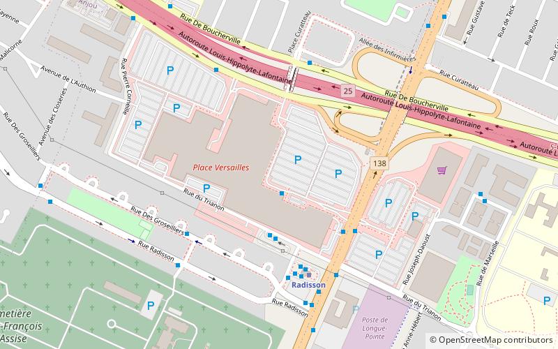
- Calculate routeRadisson 31 min walk
- Calculate routeHonoré-Beaugrand 33 min walk
Maps Metro
Metro
MetroDay trips


Frequently Asked Questions (FAQ)
How to get to Longue-Pointe by public transport?
The nearest stations to Longue-Pointe:
Bus
Metro
Bus
- des Futailles / Notre-Dame • Lines: 22-E (7 min walk)
- Tellier / des Futailles • Lines: 22-E, 22-O (8 min walk)
Metro
- Radisson • Lines: 1 (31 min walk)
- Honoré-Beaugrand • Lines: 1 (33 min walk)